Central Pacific Island Hopping
Welcome to the taste2travel Central Pacific Island Hopping guide, which describes my journey on United Airlines’ Island Hopper – UA154.
Date of Island Hop: 26th of January 2017 – 3rd of March 2017
Introduction
Taking the United Airlines’ Island Hopper (Flight: UA154) across the central Pacific had long been a dream.
I recently got to live the dream when I incorporated UA154 into a longer journey from Los Angeles to Manila.
This was a meandering odyssey from one side of the Pacific to the other, one which would take me to eight very remote islands.
Along the way, I detoured from United’s network by making a side-trip with Nauru Airlines from Majuro to Kiribati.
I’m glad I did – the people of Kiribati are the friendliest people I encountered on my journey.
More on them, and the atoll, can be found in my Kiribati Travel Guide.
This guide provides an overview of air services throughout the Central Pacific and describes my travel experiences on each flight.
I have published separate travel guides to each destination with links included in the relevant sections below.
Air Services
The following airlines offer services throughout the Central Pacific region:
United Airlines
United Airlines’ offers the most comprehensive network throughout the region.
In some cases, they are the only option!
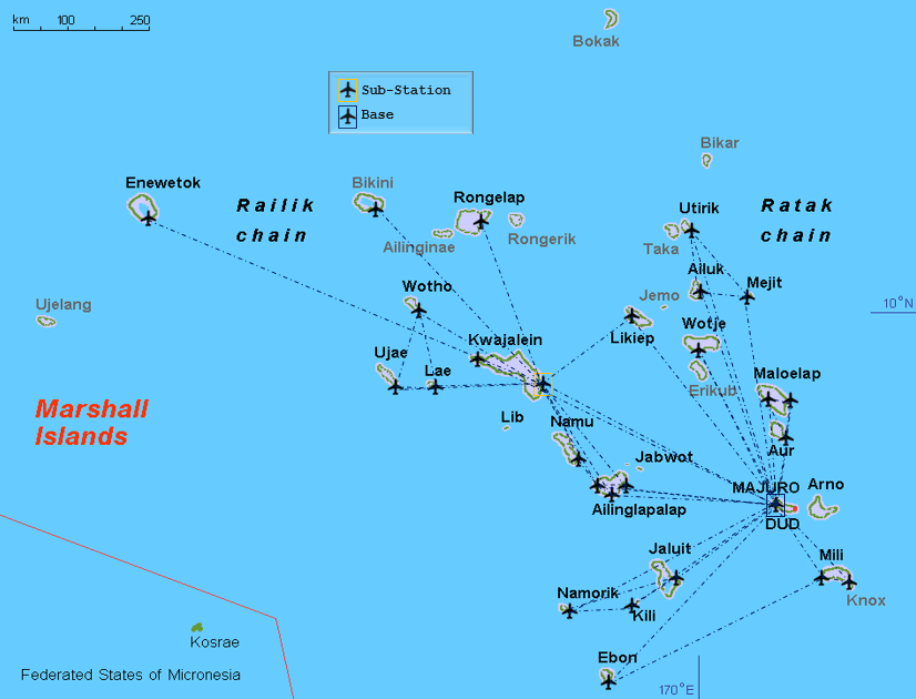
The Island Hopper (UA154) travels three times a week (Mon/ Wed/ Fri) on a 14-hour ‘all stops‘ shuttle service from Honolulu to Guam with 45 minute stops at Majuro, Kwajalein, Kosrae, Pohnpei & Chuuk. For some of the islands (e.g. Kosrae), the flight is the only link to the outside world.
The same service operates in the reverse direction from Guam (UA155), departing on Mon/ Wed/ Fri.
The United flight crews are based in Guam and, due to FAA regulations, a duplicate crew is carried to cover the 14-hour flight ensuring no one exceeds the maximum number of work hours for a single flight.
From Guam, United offer connections to other Pacific islands such as the Northern Mariana islands of Rota & Saipan, Yap (FSM), Palau and also Asia (Manila, Hong Kong, Shanghai and various ports in Japan).

United Airlines’ Micronesia routes, formerly operated by Continental Micronesia.
Source: United Airlines.
Nauru Airlines

Nauru Airlines route map – as of August 2024.
Nauru Airlines offer regular connections to many destination in the Central Pacific region, from their base at Brisbane International Airport.
An especially useful connection, for those already travelling in the South Pacific, is the airline’s regular flight from Nadi (Fiji) which offers connections to countries in the Central Pacific.
Email address of the Brisbane office: book@ourtravel.com.au
Star Marianas
Star Marianas is a small airline offering a once-daily service between Guam and the Northern Mariana Islands (Rota, Tinian and Saipan). Their fleet consists of 12 single-engine Piper planes. Their office at Guam airport is located inside the freight building between the main terminal and the United ticket office.
Travel Costs
Not cheap!
Apart from swimming or building your own raft, almost the only way between these islands is via the thrice-weekly United Airlines’ Island Hopper service.
United operate largely in a monopoly environment and like any monopoly player they can charge what they like.
There are no ‘deals’ on airfares in this part of the world.
I paid just over US$1500 for a one-way economy class ticket from Honolulu to Manila. Ouch!
You can get better pricing if you book a round trip.
Like United, Nauru Airlines operates in a monopoly environment, so there are no deals with them!
They are the only airline connecting Kiribati with the Marshall Islands.
The 75-min flight from Majuro to Tarawa cost AUD$385 return.
For travel between Guam and the Northern Mariana Islands, tiny Star Marianas airline offers much cheaper airfares than United Airlines.
I met few other travellers on these islands – no doubt the high travel costs deter many.
In-Flight Service
United Airlines
United offered a level of in-flight service typical of US carriers – i.e. minimal at best and pretty shabby!
Meals
As per the itinerary below, only one meal was served on the 14-hour flight from Honolulu to Guam.
On two of the legs I was served a ‘snack’ which consisted of a turkey-loaf sandwich.
On the remaining legs, you are offered a small packet of almonds or pretzels.
Non-alcoholic beverages are free, however if you wish to have a beer you will be charged US$7.99!
Wine and spirits are available at various (higher) prices.

Meals offered on the 14-hour Island Hopper.
The one meal – breakfast – consisted of something that resembled a McDonald’s Egg McMuffin.
The over-processed offering was not prepared by United but was supplied by a 3rd party caterer and tasted awful.
Best to bring your own food on this flight.
Entertainment
United’s Entertainment system is the old-style centrally controlled system, which is reset at the beginning of each hop.
The only chance to watch a complete movie is on the 3-hour flight from Honolulu to Majuro.
Since most hops are about one hour you will get to watch only the first hour of the movie of your choice.
There are four movie channels to choose from.
The flight map channel was never available.
I recommend bringing a good book or your own device.
As for the view outside, it’s blue ocean 99% of the time.
Crew
Considering the crew on the island hopper work a straight 14-hour shift (with no crew quarters) they do a remarkable job at maintaining a friendly, professional level of service.
In order to satisfy FAA ‘flying-time’ regulations a 2nd pilot and co-pilot accompany the flight and takeover at some stage.
They are seated upfront in seats 1A and 1B.
Due to the fact that there are no mechanical services at any of the airports a United Airlines mechanic is also included in the crew.
He is seated in the first row of economy class in seat 7C. All seats are blocked and marked ‘Crew Use’.
Nauru Airlines
Excellent service from this little-known airline.
I would certainly fly with them again.
The airlines’ head office is located on Nauru but their principle place of business is Brisbane.
The CEO is an Australian, maintenance is done at their facility at Brisbane airport and many of the crew have Australian accents.
Meals
A hot meal was served on all flights and all drinks were complimentary.
Entertainment
There is no entertainment, best to bring your own.
Crew
Very professional, efficient, Australian trained crew.
Itinerary

Boarding passes from my Central Pacific island hop.
Honolulu – Majuro (Marshall Islands) – Kosrae (FSM) – Pohnpei (FSM) – Chuuk (FSM) – Guam (USA)
Itinerary – Honolulu to Guam on UA154.
Guam – Palau – Manila

United Airlines’ Itinerary from Guam to Manila.
Majuro – Tarawa (Kiribati) – Majuro

Itinerary – Majuro to Tarawa.
Island Hops
Hop 1: Honolulu (HNL) – Majuro (MAJ)
Honolulu (USA)
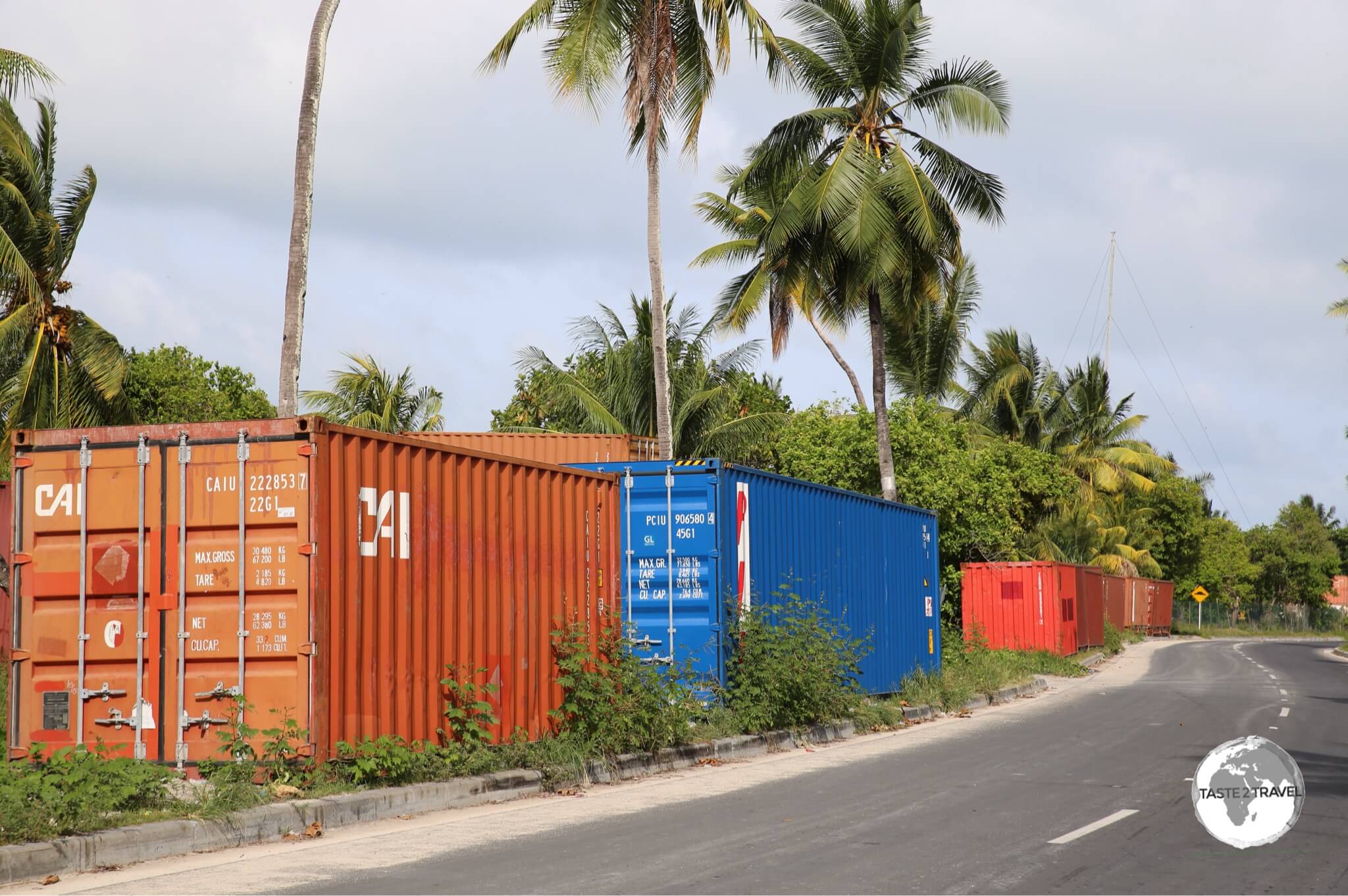
The first thing you notice when you check in for the Island Hopper is that the preferred item of luggage, used by many of the islanders, is the durable and robust Coleman cooler box.
These are packed with all sorts of food and other goodies and sealed with duct tape.

The most popular form of luggage in the Pacific – the Coleman Cooler Box.
After checking in I decided to find some breakfast.
Since I’d had an early departure (4:30 am) from my hotel in Waikiki, I was famished.
The only dining options open on the air-side were Burger King and Starbucks.
I chose Burger King and later, once on the flight, I was happy that I did.
Breakfast is the only meal served on the 14-hour flight and breakfast on my flight consisted of a cheap imitation McDonald’s’ Egg McMuffin.
Our flight left on time at 07:25 am.
I would later learn (while waiting for a delayed UA154) that the flight is often delayed departing HNL due to the late arrival of the incoming aircraft from Guam.

Departing Honolulu for the Marshall Islands.
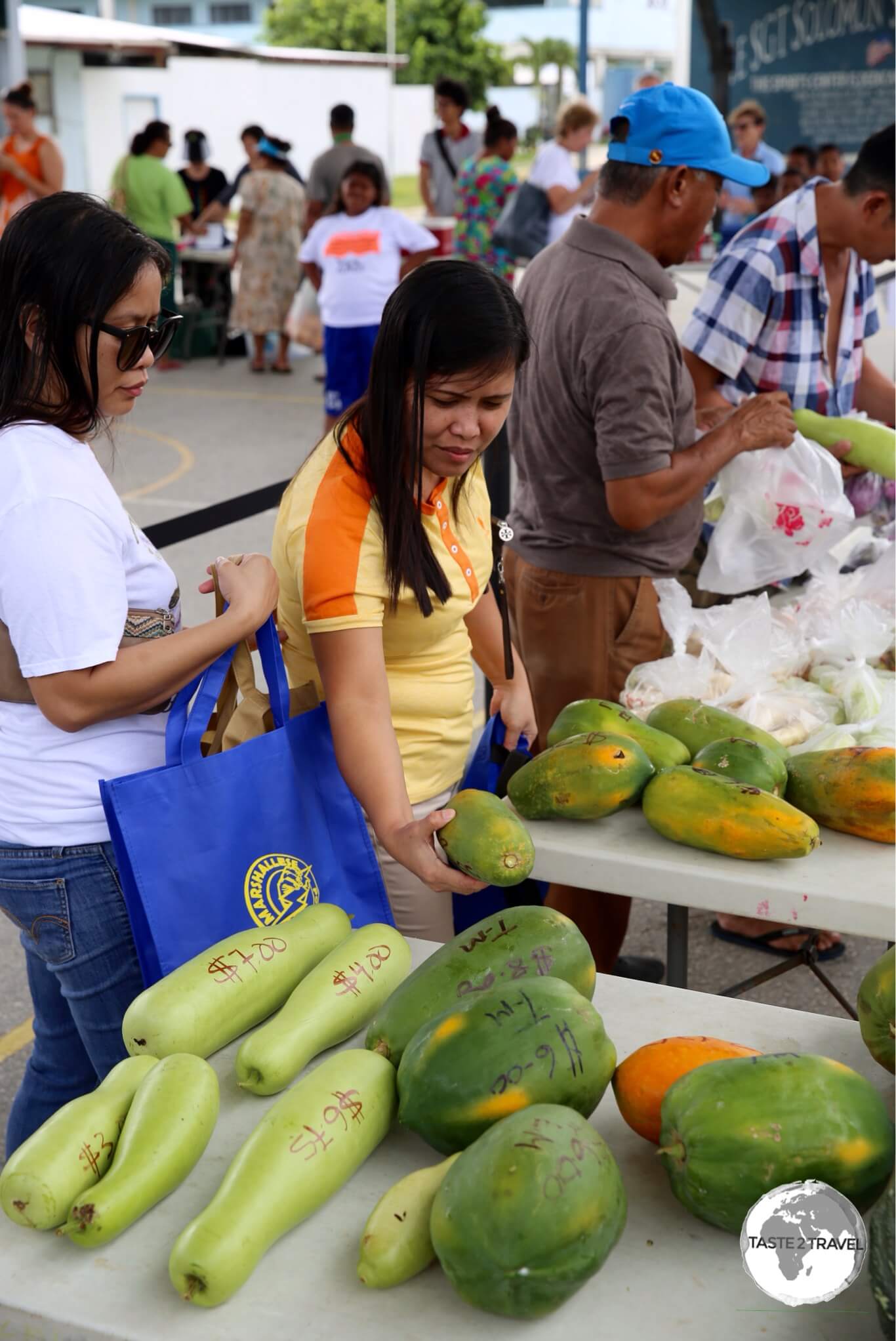
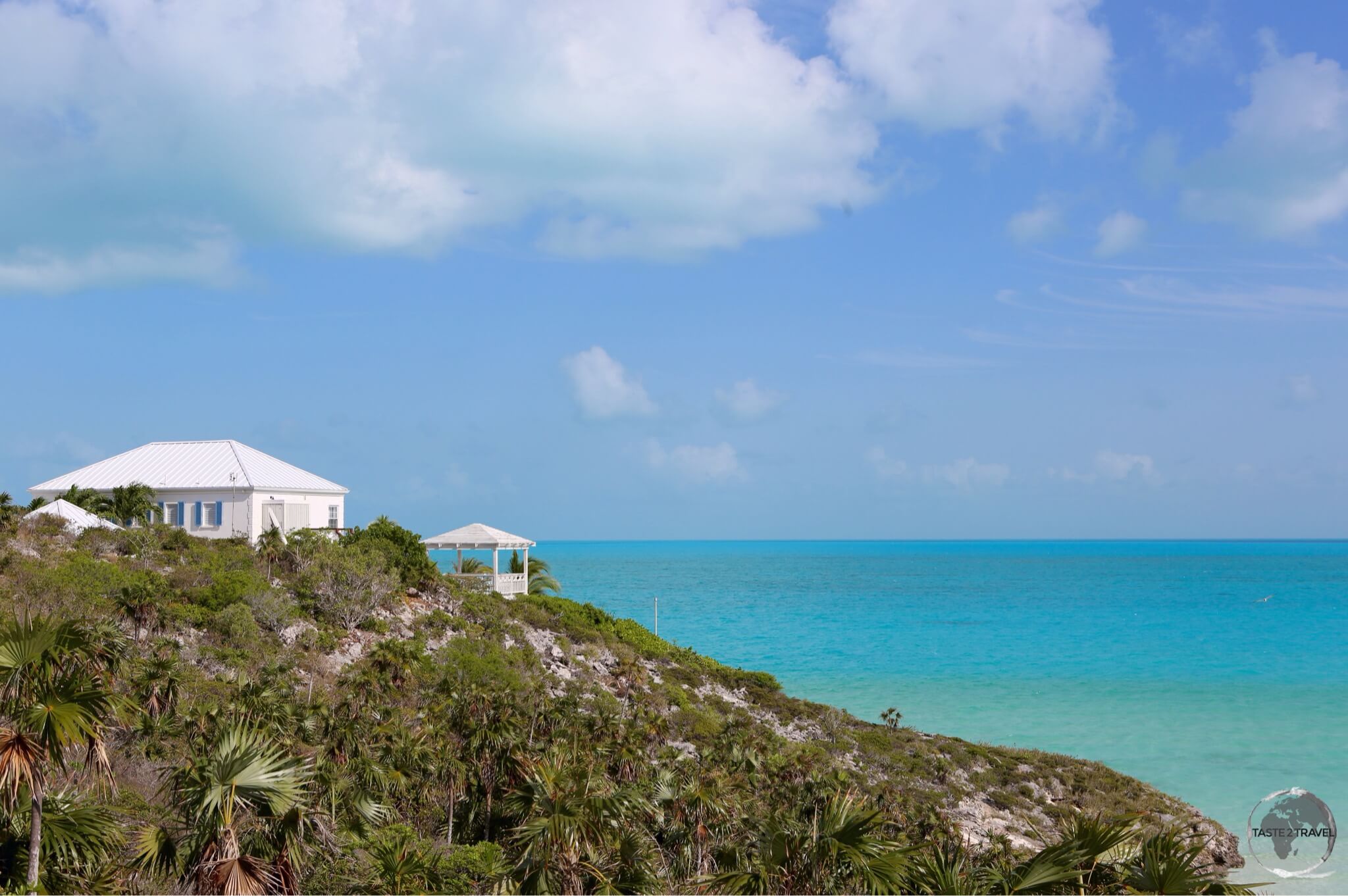
Majuro (Marshall Islands)

Interested in visiting the Marshall Islands? Click to read my Marshall Islands Travel Guide.
During the flight we crossed the International Date Line into Saturday and landed on time at Amata Kabua International Airport on the very remote Majuro atoll.

Arrival at Majuro Airport.
With the exception of Honolulu and Guam, all airports on the island hop feature small terminals with a single gate and no airbridges.
There are no taxi-ways with planes making their turns at the end of the runway, which is no problem since there is no other traffic.

Sleepy Majuro Airport, gateway to the Marshall Islands.
Arriving at Majuro: My flight arrived on time at 10:35 am.
The few passengers which alighted formed an orderly line at the one immigration desk, where they handed over their completed arrival form (supplied on the flight) to the friendly immigration officer, who normally grants a 30-day stay without fuss.
Most passengers on the flight remained in-transit, with many being US Military personnel heading to Kwajalein.
Once you have passed immigration, you wait for your bag to be delivered through an opening in the terminal wall.
Everything is done manually and at a relaxed pace, so things take time but normally there are few passengers disembarking.
Having retrieved my bag, I then proceeded to customs where I handed in my customs declaration form, which was also supplied on the flight.
There are few hotels on Majuro, however, they all send shuttle buses to meet the flight.
If one is not provided, there are many shared taxis, which shuttle along the one, long road on the atoll.
The fare from the airport to downtown is US$4. Fares around town are just 75 cents.
While on Majuro, I stayed at the Marshall Islands Resort, which is where most tourists seem to stay.

Marshall Islands Passport stamps.
Transiting Majuro
Transit passengers are allowed to de-plane to stretch their legs during the 45-minute stop at Majuro.
They are free to wait inside the small departure lounge where there is a kiosk selling snacks and a nice old Marshallese lady selling local handicrafts.
Wi-Fi is available for at the airport for purchase.
If you want a passport stamp as a souvenir of your stopover you can ask immigration.
I saw transit passengers getting stamps.
Hop 2: Majuro (MAJ) – Tarawa (TRW) – Majuro (MAJ)
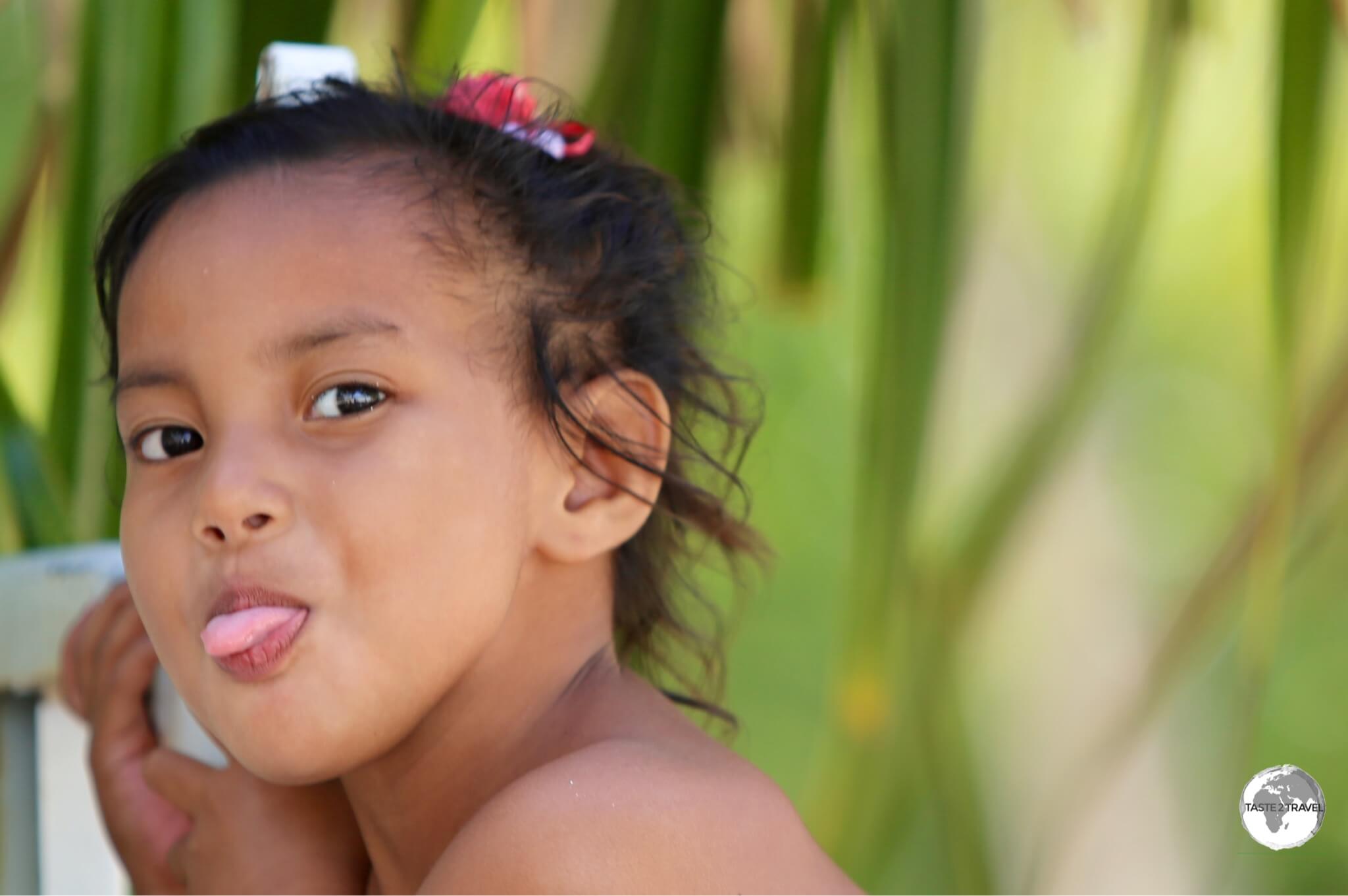
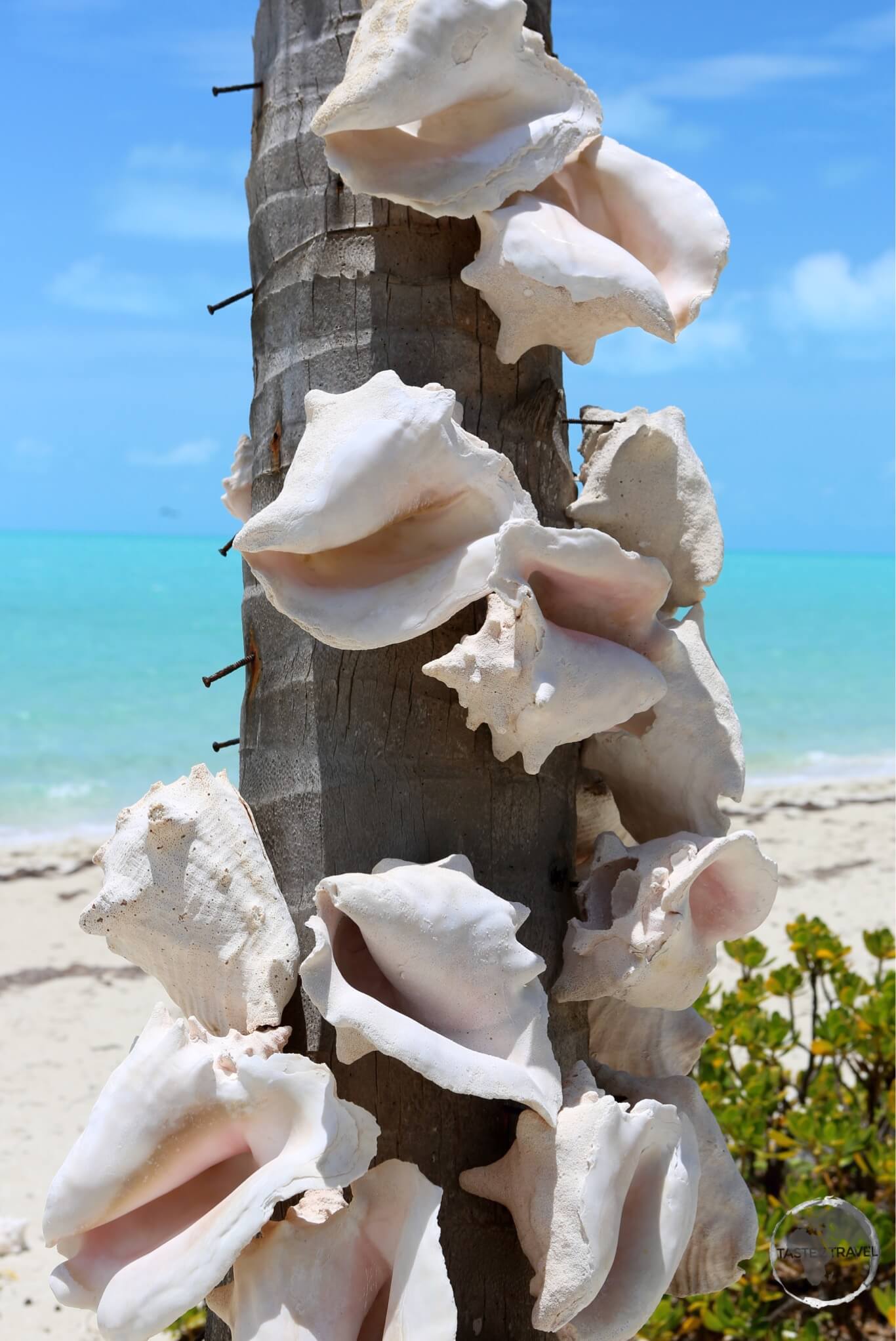
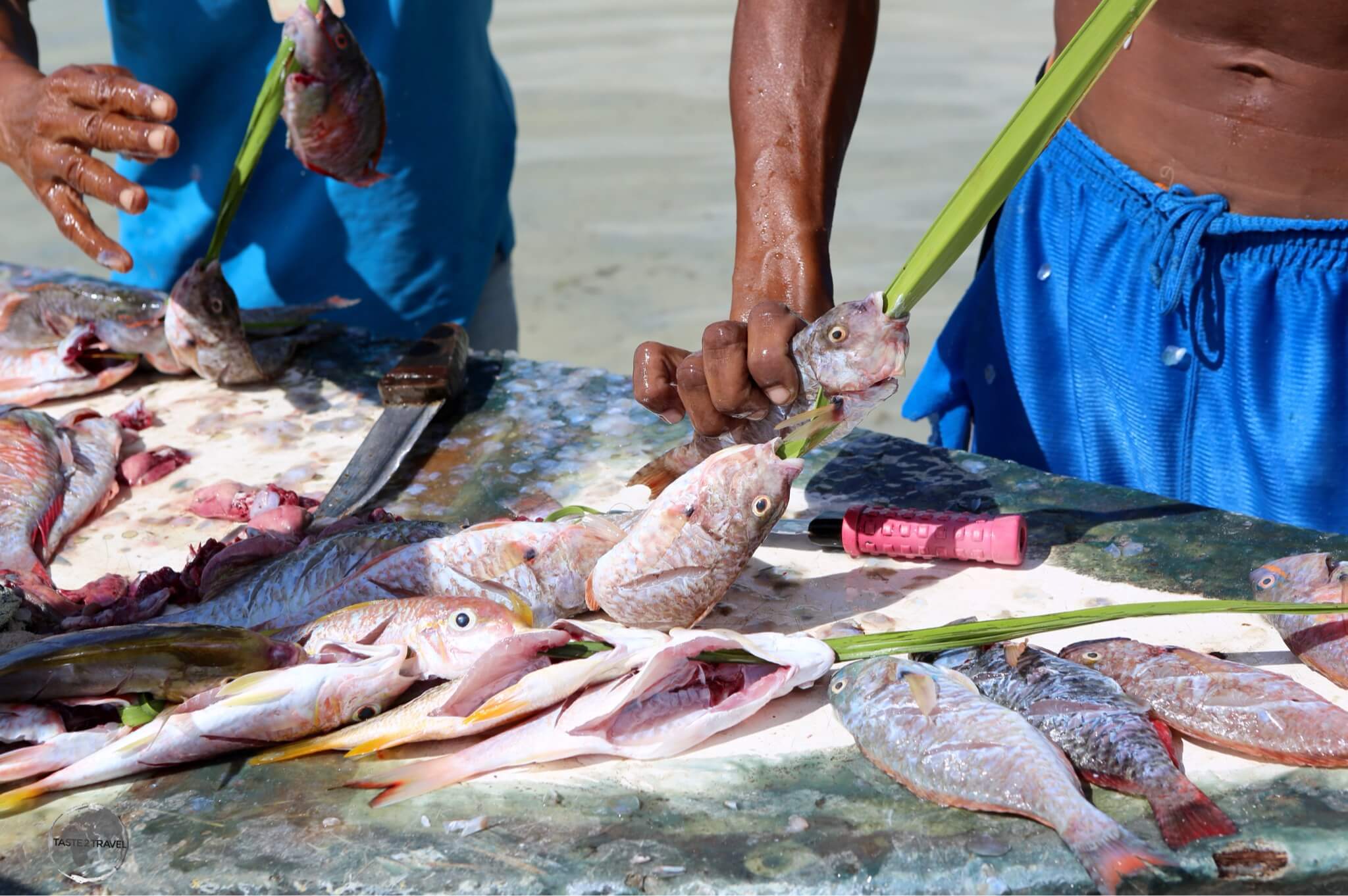
Tarawa (Kiribati)

Interested in visiting Kiribati? Click to read my Kiribati Travel Guide.
While I was in this remote part of the world I decided to make a detour from the Island Hopper route and fly south to another remote atoll nation – Kiribati (pronounced: Kiribass).
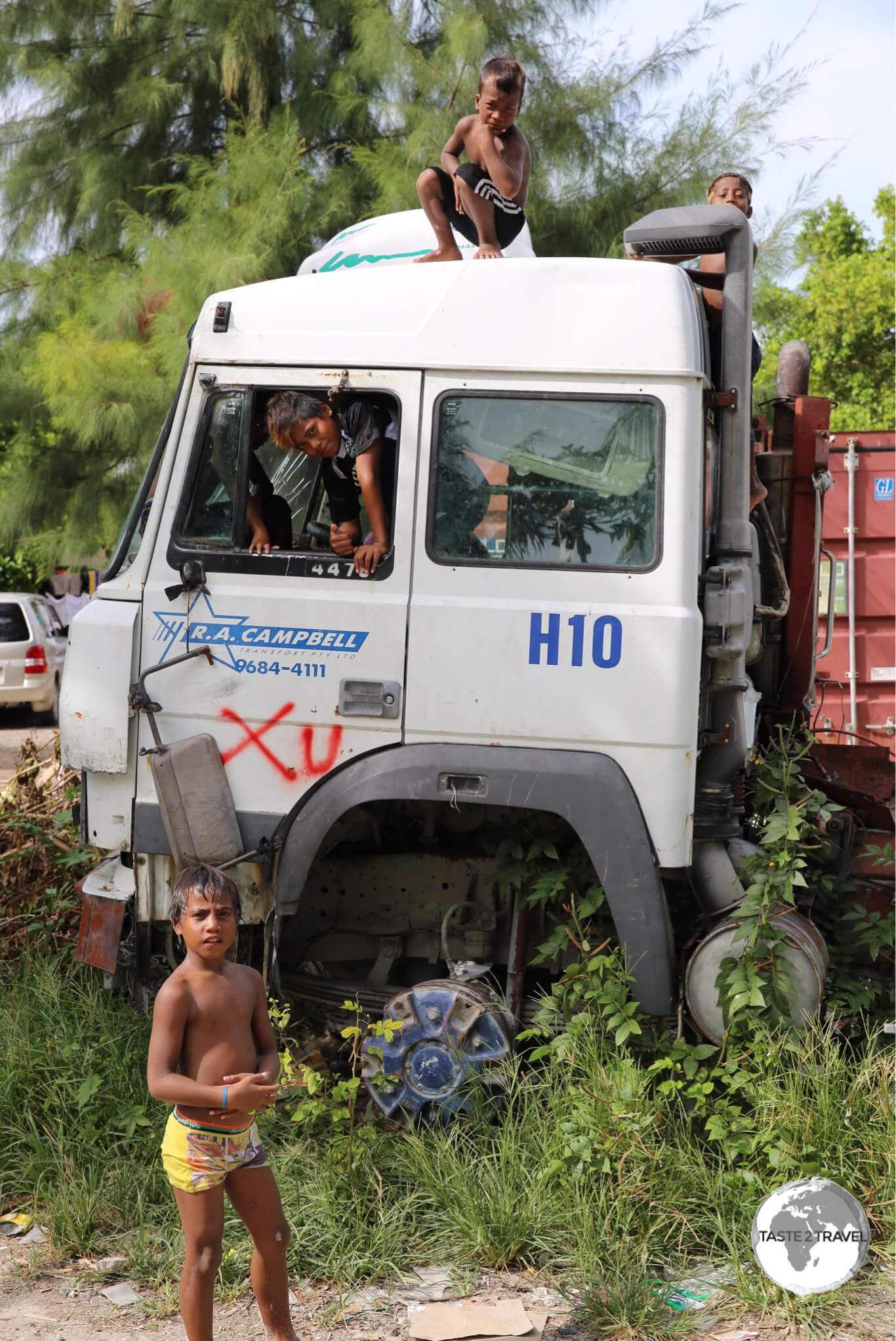
Kiribati is one of the least developed nations in the Pacific.
Most of its inhabitants live in make-shift constructions on the over-crowded atoll of South Tarawa.
This is not a destination for those who dream of holidaying on a Pacific paradise isle.
This is a developing nation, where most people live in grinding poverty.
The beautiful turquoise waters of the Pacific are used as a toilet by the 50,000 inhabitants and the tiny atoll (100m across in most places) is covered in litter.
Things are changing with large investments being made by the Australian & NZ governments in various aid projects, which include the installation of public toilets, sewage treatment plants and rubbish collection.
If you are adventurous I would highly recommend a visit to Kiribati.
Without exception the people are very warm and friendly.
I spent a week on the atoll and was sad to leave.
You will not meet any other tourists here but a few aid workers.

Nauru Airlines at Pohnpei airport.
The island is served by weekly flights from Nauru Airlines and Fiji Airlines.
Nauru Airlines flies every Friday from its base on Nauru to Kiribati and the Marshall Islands, returning the same way on Sundays.
The airline is a delight to fly with, offering a high level of service.
All flights to Kiribati arrive at Bonriki International Airport.
Fiji Airlines offers a weekly connection to their hub at Nadi (Fiji), with onward connections to other South Pacific destinations.
Arriving at Tarawa
My flight arrived on time at 10:05 am.
Passengers are processed by the friendly immigration officers, who grant a 30-day stay.
Bags are delivered through an opening in the side of the terminal.

Kiribati Passport Stamps.
Most hotels will provide a shuttle service, but if you need to use public transport there are minibuses which run frequently from the airport along the new (Australian Govt. / Asian Development Bank funded) main road.
The currency of Kiribati is the Australian dollar.
Departing Tarawa
There are just three check-in desks at Bonriki Airport; two for domestic flights and one for international flights.
Once you have checked in you get your passport stamped at the adjacent immigration desk then wait for security screening to open.
There is just one gate which is used by both domestic and international passengers.
Security staff only admit one group at a time, usually allowing international passengers into the lounge once their flight is close to arriving.
Unlike other airports in the region, there is no terminal fee charged here.
Flight departed on time at 12:00 pm.
Transiting Tarawa
Transit passengers are not allowed to de-plane at Tarawa.
Hop 3: Majuro (MAJ) – Kwajalein (KAJ) – Kosrae (KSA)
Majuro (Marshall Islands)
After spending an amazing six days on Kiribati I returned to the Marshall Islands for four days to explore Majuro and one of the offshore islands.
The Marshallese are much more reserved than the Kiribati folks but still pleasant.
More on my experiences there in my Marshall Islands Travel Guide.

Departing Majuro.
Departing Majuro
The tiny terminal at Amata Kabua International Airport offers a decent café (home to the cleanest toilet at the airport), a few gift shops (which open when a flight is due), a small bank branch and a single check-in desk.
The check-in process is like a two-step shuffle, consisting of the following steps:
- Step 1: Present your documents at the check-in desk. Staff will check you in, tag your bag and hand everything back to you – except your boarding pass.
- Step 2: Take your tagged bag to the baggage guy who is located to the left of the check-in desk. He will inspect your bag (no x-ray here) and place it on a short conveyor which leads to the baggage cart.
- Step 3: Pay your US$20 terminal fee at the window marked ‘Terminal Fee’. This is where you will receive your boarding pass – with the terminal fee receipt stapled to it.
- Step 4: Once you have paid your fee and received your boarding pass you proceed to security screening and then immigration.
If you are hungry at the airport it is best to eat at the café in the departure area. Once on the air-side your food option is limited to one small kiosk selling snacks.
Flight departed on time at 11:20 am.
Kwajalein (Marshall Islands)
The first hop on this segment of the Island Hopper is a 45-minute flight from Majuro to Bucholz Army Airfield, which serves the island of Kwajalein .
Known locally as Kwaj, Kwajalein is a restricted US Army base, built on land the US government has leased from the Republic of the Marshall islands since pre-independence days.
The island is home to a small population of US Army personnel and other contractors – all of whom need authorisation from the US Army to be there.
The island is home to the Ronald Reagan Ballistic Missile Defence Test Site.
In addition to army personnel, there are about 14,000 Marshallese residents who live on adjacent Ebeye island.
Arrival at Kwajalein
Only US military personnel, other authorized persons and Marshallese residents of Ebeye are allowed to de-plane here.
Kwajalein transit passengers
Transit passengers are not allowed to de-plane.
No photos are allowed at the airport as it is a US Army base.

United Airlines Island Hopper (UA154) departing from Kwajelein.
Kosrae – Federated States of Micronesia (FSM)

Interested in visiting Kosrae? Click to read my Kosrae Travel Guide.
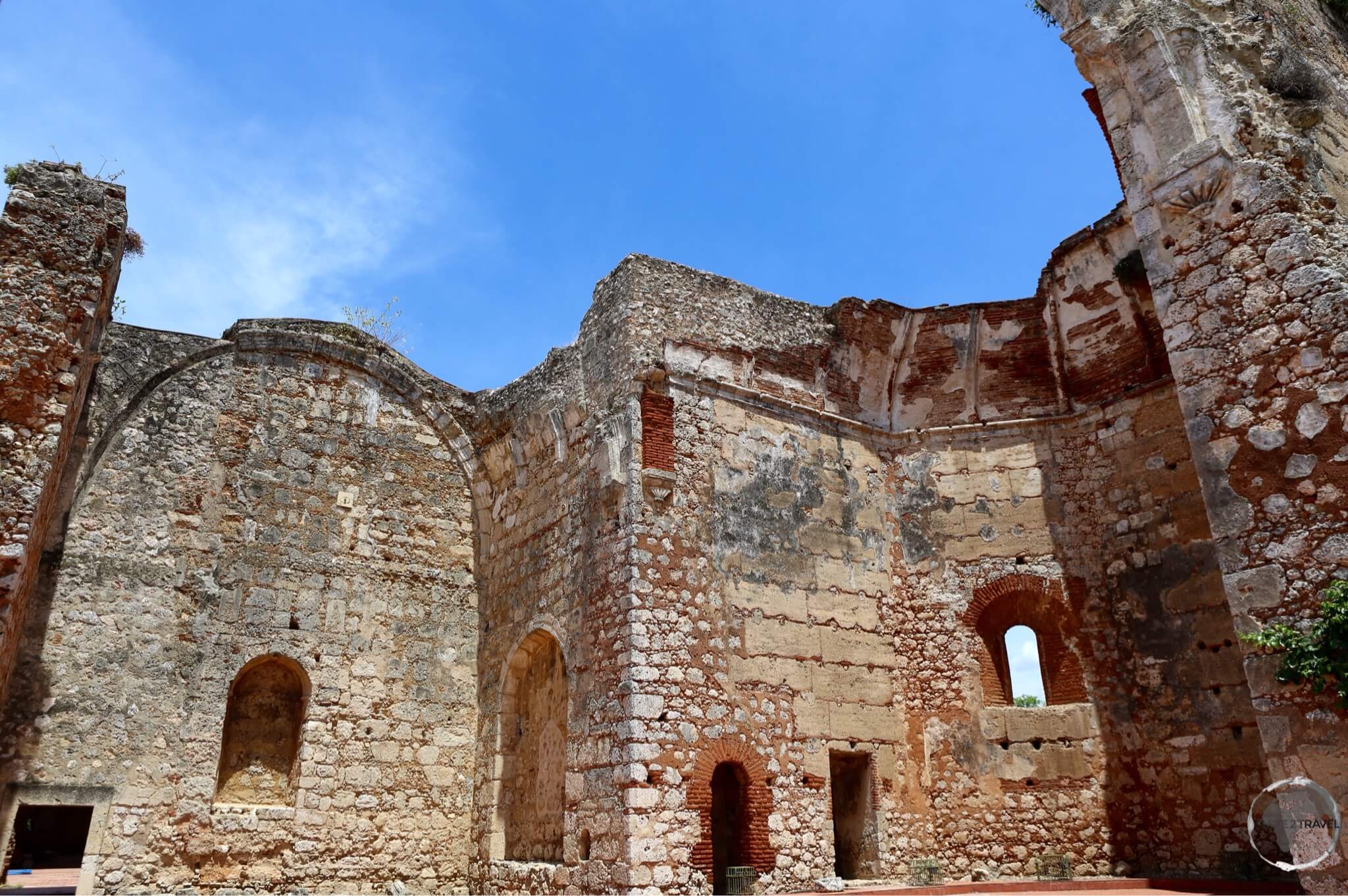
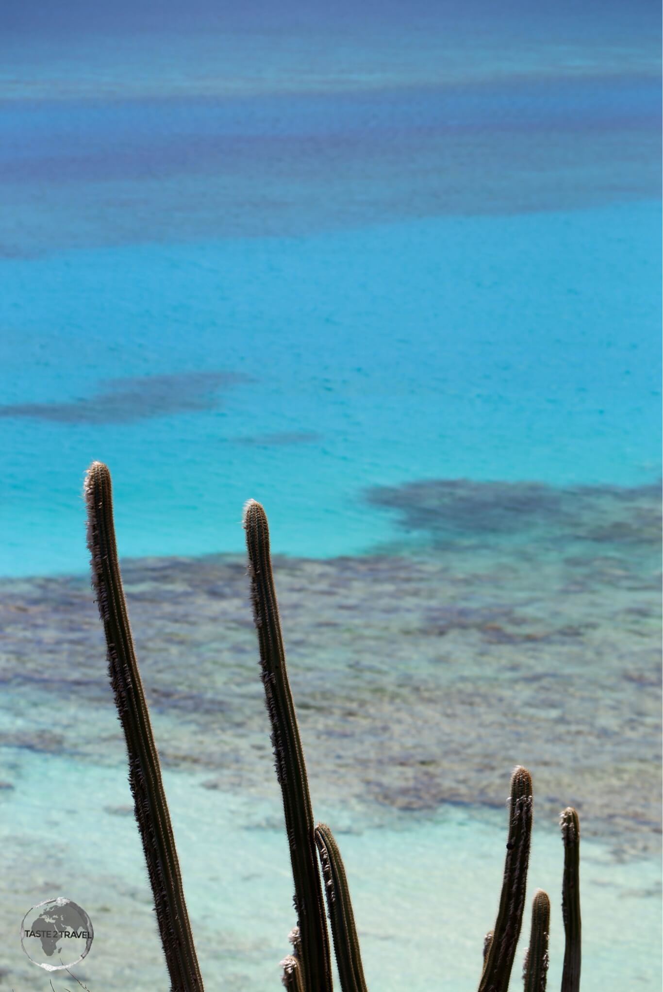
Soaring up out of nowhere in the middle of the deep blue waters of the Pacific is a lush green, mountainous island known as Kosrae (pronounced ‘ko-shrye’).
It is known as the “island of the sleeping lady” due to the profile of the central mountain range, which does look strangely like a sleeping lady.
This is the first island of the FSM (Federated States of Micronesia) group you will arrive at if travelling from the east.
FSM is an independent nation, consisting of the island states of Kosrae, Pohnpei, Chuuk (formerly Truk) and Yap.
Kosrae is tiny, remote, wild and beautiful.
With a population of just 6,600 , the island is well off the tourist radar, receiving 300 tourists a year.
When I disembarked I was accompanied by five returning residents.
This is a special place and if you ever get the chance to visit you should do so.
Arriving at Kosrae
A dramatically located airport built on reclaimed land across a channel from the island itself. Just a few of us de-planed here.
I handed in my immigration form (handed out during the flight) and received a stay corresponding to the number of days I was staying on the island (this is standard practice throughout FSM).
Customs were very relaxed – happy to see a tourist.
Note:
Each state of FSM takes care of its own immigration formalities.
For each state you enter, you will be required to complete the same entry form and will be stamped in/ out of each state.
There are just two hotels on Kosrae; Kosrae Nautilus Resort and the Pacific Treelodge resort, both of which will collect you from the airport since there is no public transport on the island and very few taxis.

The ‘Island Hopper’ departure board at Kosrae airport.
I stayed at the latter and would highly recommend staying there.
There are just two restaurants on the island, both located at the two hotels.
The restaurant at the Treelodge – Bully’s is the best choice.
The setting on the edge of the Mangrove is very special as is the food, which is prepared by a local chef who worked for years in a Japanese restaurant in Honolulu.
My favourite dinner was the $10 sushi platter, which included 21 pieces of freshly made sushi with a bottle of beer or a glass of wine. I was sad to leave here.

Kosrae Passport Stamps.
Transiting Kosrae
Like Majuro – transit passengers are allowed to de-plane to stretch their legs during the 45-minute stop.
They are free to wait inside the small departure lounge where there is a kiosk operated by a nice lady who sells snacks.
I especially recommend buying a packet of the local banana chips. They are the best!
If you want a passport stamp as a souvenir of your stopover you can ask immigration.

Kosrae International Airport
Hop 4: Kosrae – Pohnpei
Kosrae – Federated States of Micronesia (FSM)
After five amazing days on Kosrae it was time to take my usual seat (32F) on UA154 for the one hour flight to Pohnpei.

The United Airlines ‘Island Hopper’ – UA154 – at Kosrae International Airport.
Departing Kosrae: Similar check-in process as Majuro:
- Step 1: Upon entering the airport you present your luggage for manual inspection. There are no x-ray machines here. Once inspected the customs official will place your bag behind the check-in counter.
- Step 2: Present your documents at the check-in desk. Staff will check you in, tag your bag and hand everything back to you – except your boarding pass.
- Step 3: Pay your US$20 terminal fee at the window marked ‘Terminal Fee’. This is where you will receive your boarding pass – with the terminal fee receipt stapled to it.
- Step 4: Once you have paid your fee and received your boarding pass you get your passport stamped at the adjacent immigration desk.
- Step 5: Proceed through security screening into the departure lounge,
- Step 6: Buy a packet of local banana chips from the nice lady at the kiosk.
UA154 departed on time at 1:47 pm.

Departing Kosrae on United Airlines ‘Island Hopper’ UA154.
Pohnpei – Federated States of Micronesia (FSM)

Interested in visiting Pohnpei? Click to read my Pohnpei Travel Guide.
An hour after leaving Kosrae we landed on Pohnpei, home to the capital of FSM – the government enclave of Palikir.
The landing here takes you over the fringing reef then past the towering Sokeh’s Rock – a huge granite plug, which is the island landmark.

UA154 on approach to Pohnpei.
Arriving at Pohnpei
UA154 arrived on time at 2:50-pm.
I handed my arrival forms to immigration, received my stamp for the number of days corresponding to my stay, passed customs, collected my bag and met my hotel shuttle.
Like Kosrae there is no public transport on Pohnpei – although the island is much larger in terms of area and population (34,000).
You either have your own car or you walk.
There are some taxis available around the capital – Kolonia.
All hotels offer an airport shuttle service.
I stayed in downtown Kolonia at 7 Stars Inn, which I would recommend.
This is a good option if you want to be able to walk around town.
Other hotels are further out of town.
Transiting Pohnpei
Once again, transit passengers are free to de-plane during the 45-minute stop and wait inside the departure lounge, where you’ll find one café offering hot food, snacks, beer (cheaper than on the flight), coffee etc.
Souvenir passport stamps can be obtained from immigration.
Hop 5: Pohnpei – Chuuk

Boarding UA154 at Pohnpei airport.
Pohnpei – Federated States of Micronesia (FSM)
After six days on Pohnpei it was time to re-join UA154 for the next leg of the hop – onto the diving paradise of Chuuk.
My flight was delayed by 2 hours.
This often happens so hotels along the route will always call ahead first to confirm the aircraft arrival time so their guests aren’t keep waiting around at the airport.
The next island hopper was delayed by six hours!
Departing Pohnpei: Similar process to Kosrae with a slight variation:
- Step 1: Present your documents at the check-in desk. Staff will check you in, tag your bag and hand everything back to you – except your boarding pass.
- Step 3: Pay your US$20 terminal fee to the attendant next to the check-in desk. He will issue you with a receipt and your boarding pass.
- Step 4: Proceed to immigration to complete formalities.
- Step 5: Pass through security screening into the departure lounge.
The departure lounge at PNI is the largest in FSM.
It offers one TV tuned to CNN, Wi-Fi (paid) and one café, which serves a reasonable selection of food and drinks.

View of the reef which surrounds Pohnpei from UA154.
Chuuk – Federated States of Micronesia (FSM)

Interested in visiting Chuuk? Click to read my Chuuk Travel Guide.
As a keen scuba diver, Chuuk (formerly Truk) was one of the key reasons I planned this trip.
During WWII, Chuuk was home to the Japanese Pacific Fleet.
After the Japanese bombed Pearl Harbour, the Americans retaliated by launching Operation Hailstone.
The attack took place over two days and involved a combination of airstrikes and submarine/ surface ship attacks.
More than 50 major shipwrecks from WWII litter the seabed of the lagoon.
Chuuk is considered the No. 1 shipwreck diving destination on the planet and has to be seen to be believed.
Incredible diving and lots of beautiful islands to explore in the large lagoon.
Arriving at Chuuk:
Due to its underwater attractions, Chuuk attracts more tourists than anywhere else in Micronesia.
Since it’s one stop from Guam most tourists choose to fly directly from there rather than sit on UA154 for 10 hours.
Due to the late arrival of the incoming flight to Pohnpei, we arrived 2 hours late on Chuuk.
Again – very few passengers disembarked here, most were travelling onto Guam.
I handed in my immigration form (same as the one used for all other FSM states), cleared customs, exited the airport and was surprised to see a hotel shuttle waiting for me.
Why surprised? I had booked in L5 Hotel, which is across the road from the airport. It was the shortest shuttle ride ever.
When I departed Chuuk, I told the hotel I would walk to the terminal – a 2 minute walk.
You can’t beat L5 for it’s convenient location, the fact that the whole place is newly renovated and that the best restaurant/ café on the island is located on the ground floor.
The restaurant has been established by a café owner from Honolulu.
The food is the best on the island and they have the only espresso machine I saw on Chuuk.
I did all my diving through The Truk Stop hotel, which I would recommend.

Chuuk Passport Stamps.
Hop 6: Chuuk – Guam
Chuuk – Federated States of Micronesia (FSM)
After 6 days of amazing diving on Chuuk, it was time to fly the last hop of the island hopper to Guam.
Departing Chuuk
To my surprise I was informed by my hotel that the flight was actually running ahead of schedule.
Luckily, I had a short walk across to the terminal where I checked in.
The process here is the same as everywhere else in FSM… Once you pay the $20 terminal fee you get your boarding pass.
On the air-side there is a small kiosk selling snacks.
These kiosks always get busy when the transit passengers file in off the incoming flight.

United Airlines’ UA154 departing from Chuuk.
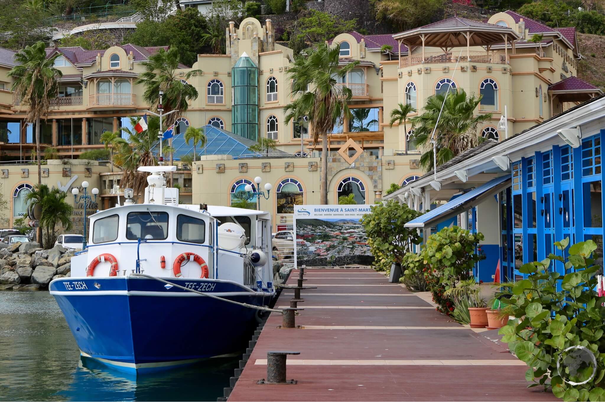
Guam – USA

Interested in visiting Guam? Click to read my Guam Travel Guide.
After almost a month on remote, tiny Pacific islands I was looking forward to the hustle and bustle of Guam.
With its high-rise hotels wrapping around the emerald green waters of Tumon Bay, it’s shopping malls, outlets, American fast food chains, restaurants, bars etc. – Guam is a mini version of Hawaii.
Guam is home to the native Chamorro people, a large Filipino population and a sizable US Military population who work at the two large bases (Naval Base Guam and Andersen Air Force Base).
Added into the mix are 1000’s of Japanese, Korean and Chinese tourists who flock here for short breaks to spend some time shopping and relaxing in the Tumon Bay area.
Here you will find all the large hotels but they are not cheap due to the islands popularity.
I found a more reasonably priced apartment on booking.com.
The island is large and diverse, offering a wealth of sightseeing.
Rental cars are cheap at the airport and essential if you wish to explore beyond the tourist enclave of Tumon Bay.
I easily spent six days on the island.
If you are in town on a Wednesday evening be sure to join the throngs for the best local BBQ dinner at the Chamorro village in Agana.
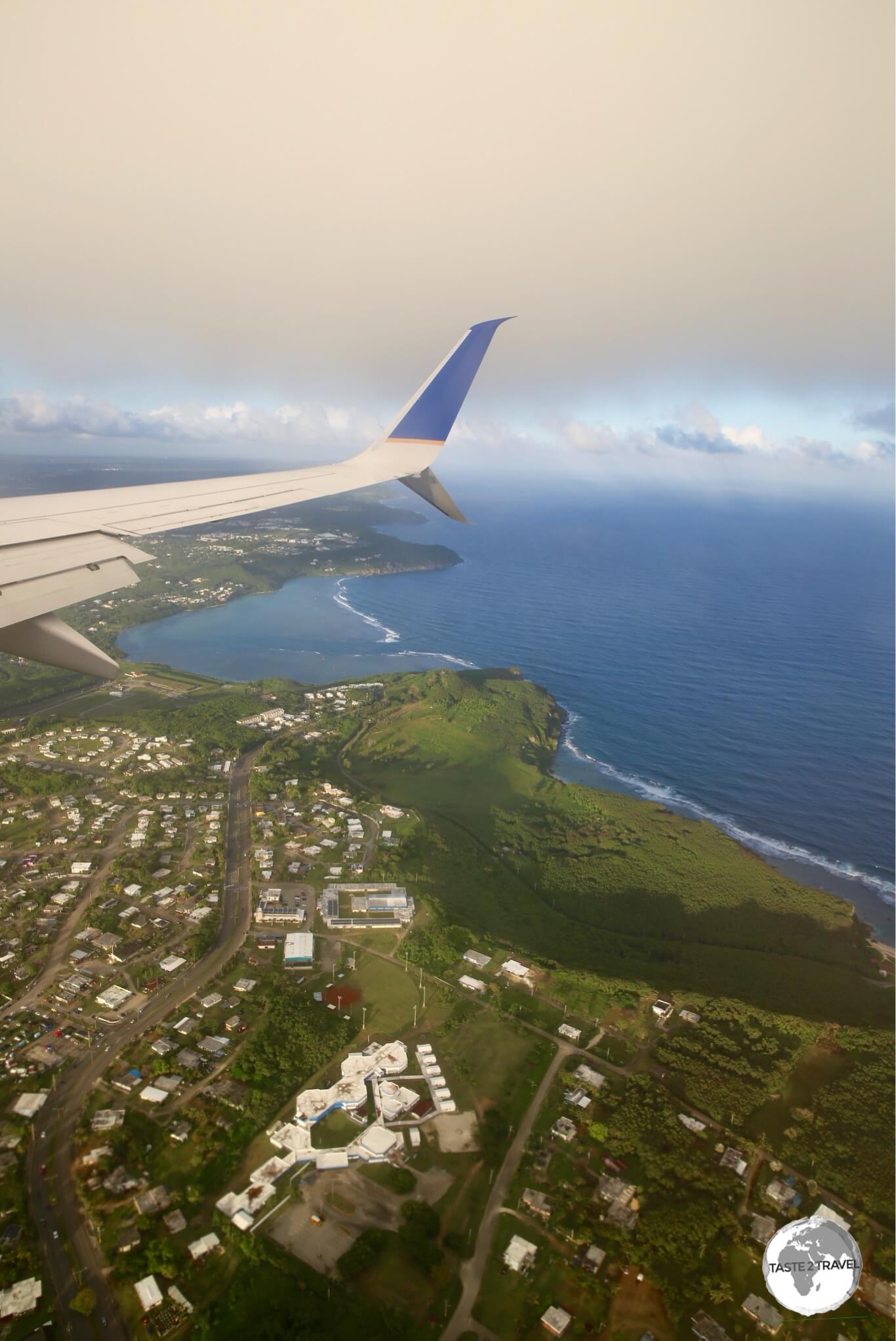
The view from my flight on United Airlines “Island Hopper” (UA154) on final approach to Guam.
Arriving at Guam
If you have spent any amount of time on the other islands, the first thing you will notice upon arrival at Antonio B. Won Pat International Airport is how big and busy it is.
Lots of gates instead of the usual ‘1’ and lots of aircraft movement instead of one movement every few days.
This is a busy airport with most of the flights shuttling tourists from Japan and Korea and now increasingly China.
Guam serves as a regional hub for United Airlines.
The island Hopper was early into Guam which would have been good news for the Guam-based crew.
Arrival procedures here are the same as any other international gateway, but at this airport (unlike all others on UA154) your bag is delivered on a carousel – strange to see one after weeks of receiving my bag through a hole in the terminal wall.
Entry requirements for Guam are the same as the US.
In the terminal, there are all the usual US car rental agents.
I pre-booked a car with Alamo, which was reasonable at $30 per day.
You need a car here unless you are going to spend a short time lazing around the beach.
I also needed the car to get to my apartment, which was in the neighbourhood of Sinajana.
If you have a craving for anything from your favourite US restaurant chain your appetite will be satisfied on Guam.
From Denny’s to Tony Roma’s and many more – they are all here.
Hop 7: Guam – Palau
Guam – USA
After an amazing week on Guam it was time to move onto the next island – Palau.
Guam had been wonderful, providing all the conveniences of the US in the middle of the western Pacific.
From wonderful infrastructure, large supermarkets (I self-catered a little) to all the restaurants and shops you would find on the US mainland.
Where else can you shop at Macy’s in this part of the world?
Although the most popular shop on the island is the ‘Ross – Dress for Less‘ outlet at the Guam Premier Outlet Mall.
With opening hours from 6-am to 1-am, seven days a week, there is always a huge line of Asian tourists waiting patiently to pay for their bargains.
Departing Guam
I returned my car to Alamo and proceeded to the United check-in area.
The terminal is mostly used by large groups of tourists from Korea, Japan and China, with airlines from these countries providing frequent daily connections.
Exit formalities are the same as the US (i.e. no stamping of passports).
There is a small food court on the air-side, which was full of diving groups from Europe waiting for a flight to Chuuk.
Most of the shops close early so if you plan to purchase anything do it first.
My flight departed on time at 07:55-pm but most of the airport was closed well before this time.
The flight time to Palau was 90 minutes with United providing yet another ‘snack’.
Palau

Interested in visiting Palau? Click to read my Palau Travel Guide.
I had heard many good things about Palau and I wasn’t disappointed.
Despite being an expensive destination (it was the most costly destination on this journey) the diving was incredible, the environment is pristine and the local culture is very much alive and completely different to anywhere else in the region.
The government has taxes galore, which they charge tourists, including a US$50 departure tax which includes a $30 ‘green fee’.
Despite the expense, Palau is definitely worth visiting once in your life.
Arriving on Palau
UA157 touched down at a wet Palau International Airport on time at 9:05-pm.
Palau airport is larger and more modern than most in the region with air-bridges and at least two gates.
The flight was half full so clearing immigration and customs was fast.
I was granted a 30-day stay.

Palau passport stamps.
My hotel did not provide a shuttle service so I asked about car rental at the Alamo counter.
They quoted US$70 per day – more than double the cost on Guam.
Welcome to Palau!
I decided to settle for a taxi but there were none.
The kind lady at the Information Desk offered to take me instead for the same price ($25 to downtown Koror). She closed the Information counter and drove me to my hotel.
Hop 8: Palau – Manila
Palau
I spent a total of six days on Palau which is enough time to explore this little piece of paradise.
During this time, I got to scuba dive with Manta Rays, countless sharks and other amazing marine life, drive a rental car around the main island of Babeldaob and explore the offerings of the main town – Koror.
It was now time to wrap up this odyssey by taking my final flight to Manila.
Departing Palau
Due to the constant snaking line of traffic, which crawls along the one-lane main road of Koror, you should allow plenty of time to reach the airport.
If you arrive too early you will find the door to the check-in area is locked.
Once you have checked-in you go upstairs to pay your $50 departure tax ($20 terminal fee/ $30 green fee) then have your passport stamped and proceed through security screening into the lounge.
In the lounge, you’ll find one over-priced Duty Free shop and a small kiosk.
If you are hungry it’s best to eat in the one upstairs restaurant before you pass through immigration.
Flight time to Manila is just under 3 hours.
United once again provided a ‘snack’.
Non-alcoholic drinks are provided free of charge, anything else is available at cost.
Manila – Philippines
Arriving in Manila
Manila’s Ninoy Aquino International Airport (NAIA) has been operating over-capacity for years.
Whenever I have flown in here I have been delayed while the plane is put into a holding pattern. Tonight, was no exception.
After a smooth, on-time flight, the captain announced we were in a holding pattern and would be delayed approximately 50-mins.
NAIA has just two runways and four terminals with a capacity for 28 million passengers per year.
In 2015, almost 37 million passengers passed through the airport.
United arrive at Terminal 1 which is the main international terminal, where there are always long lines for immigration.

Grab Pick-up Point at NAIA in Manila.
After receiving my bag I proceeded outside to take a taxi to downtown.
If you will be taking taxis (recommended in this crazy metropolis) it is worth installing the free ‘Grab‘ app on your smartphone before you arrive.
Uber is not available in the Philippines.
This is the most popular ride sharing app in Manila (and other capital cities in Southeast Asia).
Unlike Uber, Grab allows cash payments (useful in a city where a fare can be just $3), so there is no need to register your credit card.
A regular taxi fare to downtown Manila (e.g. Makati) from the concession stand outside Terminal 1 is P650. The same trip on Grab will could less than P300.

Grab Taxi Service Desk at NAIA.
Always request the driver to use the (faster) Skyway, an elevated freeway, which will cost you an extra P20 for the toll.
There are Grab stands outside of each terminal, where a Grab representative will order you a taxi – so if you don’t have the app you can still use the service.
From Manila it was onto the next adventure… more on that another time.
That’s the end of my United Airlines Island Hopper report.
If you wish to leave any comments/ feedback, you can do so using the form below.
Safe Travels!
Darren
Follow me on Instagram:
[instagram-feed feed=1]
Further Reading
Other travel reports from the Pacific region:
Central Pacific Island Hopping Central Pacific Island Hopping Central Pacific Island Hopping Central Pacific Island Hopping Central Pacific Island Hopping Central Pacific Island Hopping Central Pacific Island Hopping Central Pacific Island Hopping Central Pacific Island Hopping Central Pacific Island Hopping Central Pacific Island Hopping Central Pacific Island Hopping Central Pacific Island Hopping Central Pacific Island Hopping