Saint Barts Travel Guide
Welcome to the taste2travel Saint Barts Travel Guide!
Date Visited: May 2015
Introduction
Saint-Barthélemy or Saint-Barth (in French)/ St. Barts (in English), once had the distinction of being the only Swedish colony in the Caribbean. Today it is a French overseas collectivity.
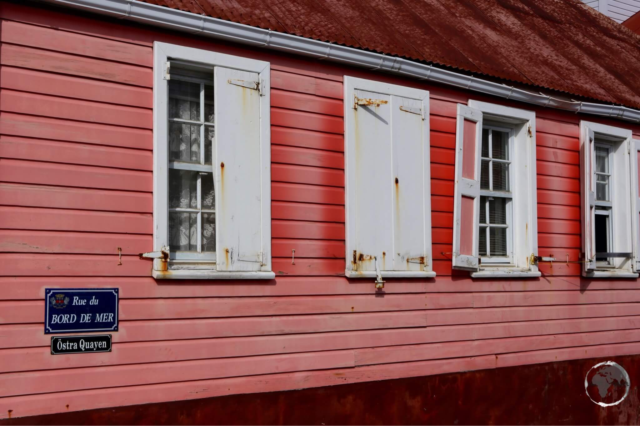
A traditional Swedish-style cottage in Gustavia.
This small (25 square kilometres) volcanic island has a reputation for being an upmarket playground for the rich and famous. But, like a sparkling diamond set in the turquoise waters of the Caribbean, St. Barts has many sides to it.
For some it is a place to moor their mega-yacht, holiday in a luxurious private villa, dine in exclusive restaurants – where French chefs prepare haute cuisine – and shop in expensive boutiques.
For others, St. Barts is a day trip from neighbouring St. Martin. A chance to dip into another world before returning back to reality.
However, despite it’s reputation, it is possible to have a reasonably priced holiday on the island. You can secure a hotel room without taking out a second mortgage on your home, you can eat in moderately priced restaurants and car rental is affordable.
Either way, if you have the chance to visit this enchanting island you should do so, no matter your budget.
Location
St. Barts lies 26-km southeast of Sint Maarten/ Saint Martin (Dutch/ French), 43-km southeast of Anguilla (British) and about 50-km northeast of Saba and Statia.
The most popular way of reaching the island is by daily fast ferry from St. Martin – see the ‘Getting there’ section below for more details.
History
Like neighbouring islands, St. Barts was originally inhabited by the native Arawak Indians who sailed up through the Antilles from Venezuela. They were replaced by the more aggressive Carib Indians.
The first European to make landfall on the island was Columbus during his 2nd voyage to the America’s in 1493, he named the island after his brother – Bartolomeo. As with other islands, Columbus received a hostile reception from the Caribs so the Spanish never attempted to settle the island.
St. Barts was first settled in 1648 by French colonists from neighbouring St. Kitts. Five years later, a raid by angry Carib Indians destroyed the settlement killing all the settlers.
In 1763, the island was settled again by the French. French buccaneers also used the island as a base to raid Spanish galleons. There is still believed to be buried treasure on the island.
Due to it’s small size and rocky, dry landscape, sugar plantations were never established on the island so slaves were never present in large numbers. This is reflected in the population today (9,000), which is mostly comprised of descendants of the first French settlers.
In 1784 the French sold St. Barts to Sweden in exchange for trading rights in the Swedish port of Gothenburg. As a free port under Swedish rule, Gustavia was a thriving settlement. During this time anything could be bought or sold by anyone, including pirates. The harbour was surrounded by overflowing warehouses and the port was busy with visiting merchant ships from many nations.
France re-purchased the island in 1878 and has maintained control ever since.
Many influences from the Swedish era still remain today, including the name of the capital – Gustavia. The town remains a free port, it’s street signs are in French and Swedish and Swedish architecture can still be seen around the old town.

All street signs in Gustavia are in Swedish and French.
Up until 2007, St. Barts was part of the French overseas department of Guadeloupe but separated following a successful secession vote in 2003. Being French, St. Barts is part of the European Union with the Euro as it’s official currency. Like other French overseas regions, St. Barts receives generous subsidies each year from Paris.
Today tourism is the islands’ key industry and only got started after the eccentric Dutch aviator, Rémy de Haenen, landed his plane at St. Jean – the location of today’s airport – in 1946. He would later make the first landing on Saba, opening that island to aviation and tourism.
He eventually became the first hotelier and the island’s mayor, hosting the rich and famous such as Howard Hughes and Hollywood stars. In 1957, American millionaire David Rockefeller bought a property on the island. The rich and famous continue to flock to the island.

Swedish-era colonial cottage in Gustavia.
Today the island enjoys a high standard of living all thanks to the international investment and the wealth generated by wealthy tourists. Tourism attracts about 200,000 visitors every year, many of these are day-trippers from St. Martin. Most of the food on the island is imported by air plane or boat from the US or France.
Flag

The unofficial flag of St. Barts.
The flag of Saint Barthélemy is the French tricolour. This is because Saint Barthélemy is a self-governing overseas collectivity of France. An unofficial flag of Saint Barthélemy, consisting of the island’s coat of arms centred on a white field, is also used on the island.

The flag of St. Barts flying outside the Hotel de Collectivite (City Hall) in Gustavia.
The coat of arms consists of a shield divided into three horizontal stripes, which contain three gold fleurs-de-lis on blue, above a white Maltese cross on red, over three gold crowns on blue. The shield is topped by a gold crown, while beneath, on a white banner, is the name “Ouanalao“, which was the original name given to the island by the indigenous inhabitants.
Currency

Euro Currency
Being a part of France, the official currency of St. Barts is the Euro, the US dollar is widely accepted. As can be expected on an island which is a playground for the rich and famous, the cost of everything is high!
Sightseeing
Gustavia

View over Gustavia, the capital of Saint Barts.
The capital and largest city (2,300), Gustavia is built around a U-shaped cove facing the harbour on the west side.
Formerly known as “Carénage” (after the shelter it provided to damaged ships), the Swedes renamed the capital in 1785 in tribute to their king, Gustav III.
Under the Swedes, Gustavia was a thriving neutral, free port. The city attracted traders from around the globe and had a population double that of today. During this time, the Swedes built many of the architectural gems that remain.

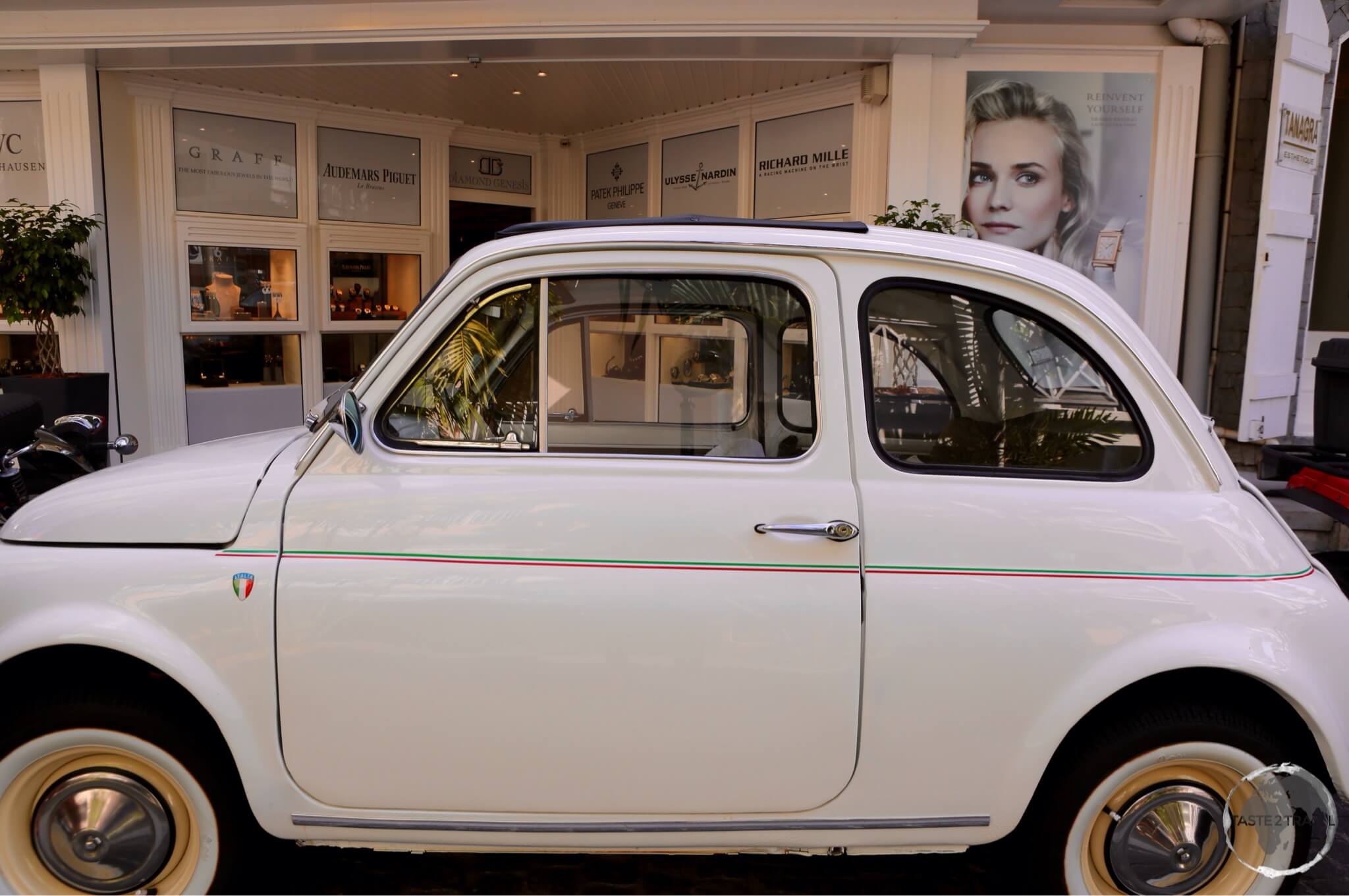
A wedding car in Gustavia.
Gustavia today is a mix of upmarket designer boutiques, glittering jewellery stores, cafes, restaurants and restored wooden and stone buildings from the Swedish era.
European style in downtown Gustavia.

Saint-Bartholomew Anglican Church, Gustavia.
Sites include:
- Saint-Bartholomew Anglican Church – Located on Rue du Centenaire, this church was built in 1885 with stones brought from Statia.
- Wall House Museum – Located at the far end of La Pointe on the waterfront next to the Hotel de Collectivite, this small museum contains an eclectic mix of displays providing an overview of the history of the island. Displays are in French and Swedish.
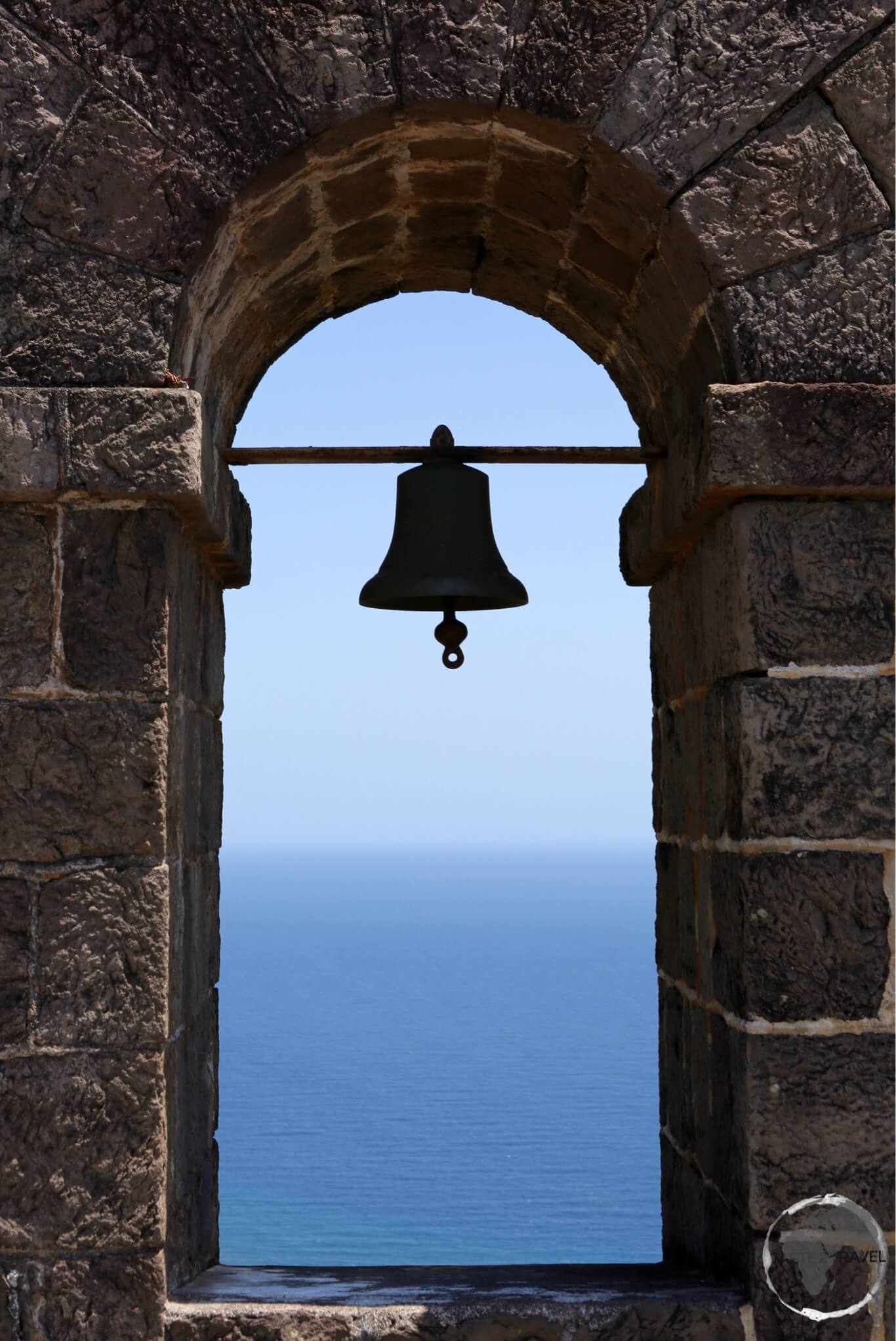
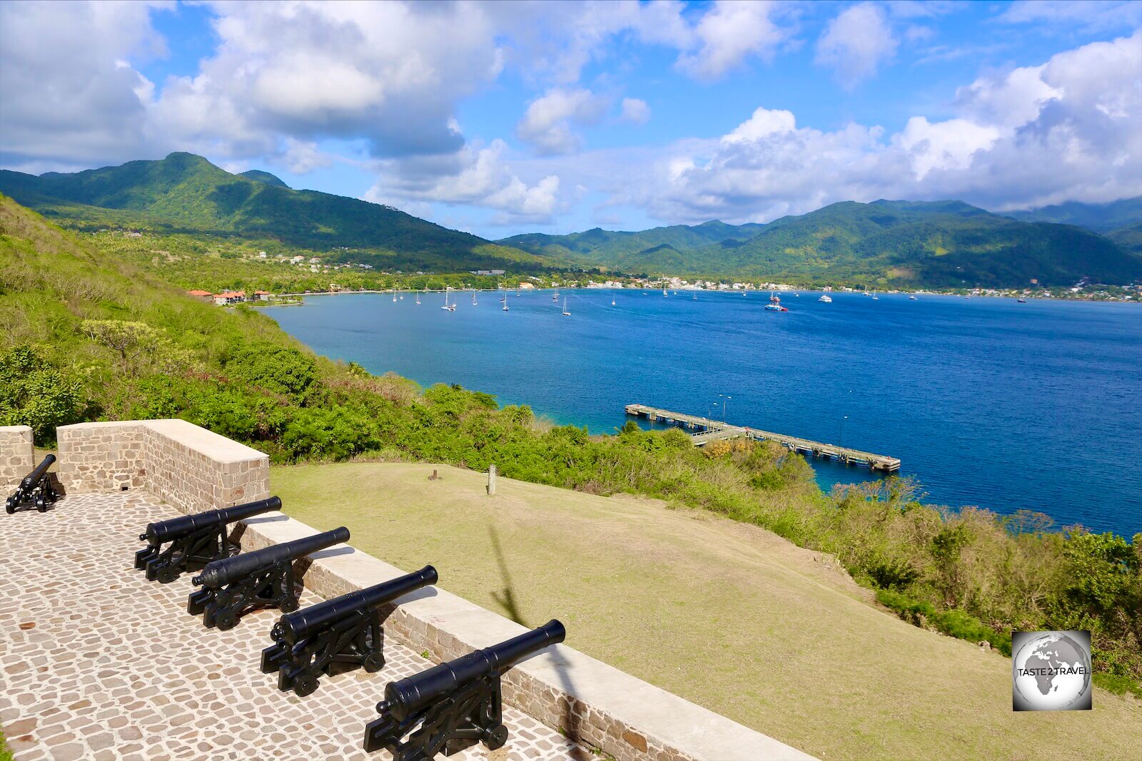
- Forts – There are three forts in Gustavia, Fort Karl, Fort Gustav and Fort Oscar – all of them very much in ruins.
- Shopping – The main shopping street in Gustavia is Rue de la République. Here you will find lots of expensive boutiques where you can empty your wallet.

A vintage Fiat in Gustavia.
Around the Island
With Gustavia being the only town, the rest of the island is comprised of small villages lining beaches nestled in picturesque coves and bays. With a rental car you can drive around the entire island in 2-hours. A more relaxed tour would take a full day.
Colombier Beach

Colombier Beach is a popular north coast beach.
Located in the north-western part of the island, this crescent shaped beach offers calm waters and good snorkeling. It’s a 20-min walk down to the beach from the main road. There are no facilities so you will need to carry all your own food/ drinks in with you.

A view of the north coast of St. Barts.
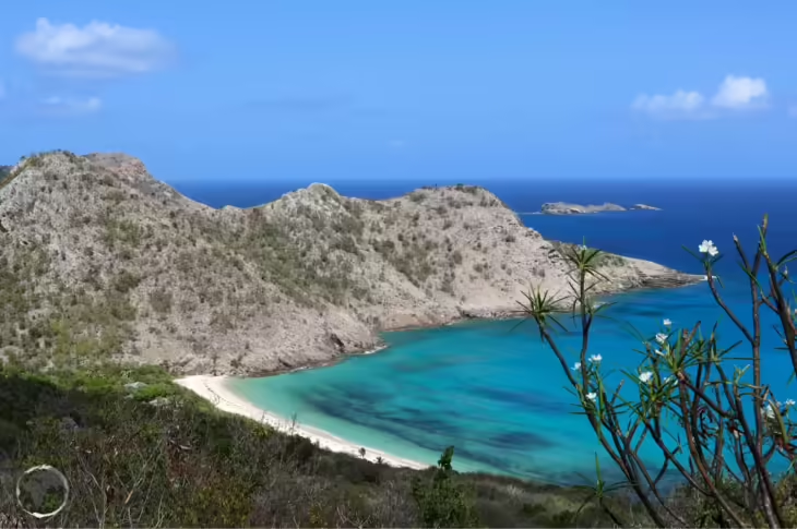
Anse du Gouverneur

Entrance to Anse de Gouverneur beach.
Located on the south side of the island, a short drive over a steep hill from Gustavia, this secluded beach (main photo) offers brilliant white sand and sparkling turquoise water. The wide sweep of sand ensures there is plenty of room for everyone.
The pristine Gouverneur Beach is the finest on St. Barts.
Accommodation

Typical accommodation on St. Barts – a deluxe villa.
The large scale hotel developments found on other Caribbean islands are not permitted on tiny and exclusive St. Barts. Hotels on the island tend to be small and intimate, with luxury villas comprising 70% of accommodation.
While St. Barts offers the visitor the opportunity to spend $20,000 per night on a luxury villa, you can also find a comfortable room for under $200 per night.
If you wish to book a private villa, it’s best to contact the owner or booking agent directly.
If you wish to book a more affordable hotel, it’s best to book using an online agent such as booking.com
Eating Out
St. Barts is part of the French West Indies and generally caters to a wealthy clientele. As such cuisine on the island is taken very seriously.
There is no shortage of exclusive fine dining restaurants but you can also find reasonably priced cafes and restaurants where mere mortals can afford to eat.
A great place for lunch is the wonderfully unpretentious Restaurant O’Corail, which is located directly on the beach at Grand Cul de Sac. The affordable menu offers a range of exceptionally well done meals, all using local produce. There is a dive centre next door if you wish to burn off some calories after lunch.
Visa Requirements
Some nationalities require visas for St. Barts – check your visa requirements prior to arrival.
Getting There
By Air

A Winair flight from St. Martin, landing on the very short runway at St. Barts.
International flights arrive at Gustaf III Airport (named after King Gustav III of Sweden), also known as Saint Barthélemy Airport, which is located in the village of St. Jean, a 10-min drive over the hill from Gustavia.
This airport has been ranked as one of the most dangerous in the world, boasting the second-shortest commercial runway at 650-m (the shortest is on neighbouring Saba).
Only small planes can land here and must first clear a slope before landing on the short airstrip, which ends abruptly at the beach.
The following airlines provide international connections:
- Air Antilles Express – services to Guadeloupe
- St Barth Commuter – services to Antigua, Sint Maarten/ Saint Martin
- Tradewind Aviation – services to Antigua, US Virgin Islands (Saint Thomas), Puerto Rico (San Juan)
- Winair – services to Sint Maarten/ Saint Martin
By Sea

The Voyager fast ferry (seen here at its dock at Oyster Pond, St. Martin) offers the best connection between St. Martin and St. Barts.
There are daily fast ferry connections between Saint Martin and Saint Barts operated by the Voyager ferry company. Services run between Gustavia and Marigot (St-Martin), and between Gustavia and Oyster Pond (St-Martin). From Marigot, the journey is 90-minutes; from Oyster Pond, the ride is 30-minutes. Check the website for schedules and fares. I travelled to St. Barts from Oyster Pond with Voyager. It’s a fast comfortable journey across the Saint Barthélemy Channel.
From Philipsburg (Sint Maarten), Great Bay Express offers a daily fast ferry service (40-min) to Gustavia. Check their website for schedule and fares.
Getting Around

The license plate of my rental car on St. Barts.
There is no public transport on the island. You either walk, hitch a ride or hire a car.
The best option for exploring the island is to hire a rental car. There are loads of agencies in Gustavia and at the airport. Most cars are manual transmission and compact, which is a good thing as most of the roads are narrow and windy.
There are two petrol stations on the island, one near the airport and one at Lorient beach. Both are closed on Sunday.
Taxis are also available from one of the two taxi stations on the island (airport and Gustavia). There are no meters or fixed tariffs. Fares can be expensive so it’s best to confirm the cost before you commence your journey.
Safe Travels!
Darren
Follow me on Instagram:
[instagram-feed feed=1]
Further Reading
Other travel reports from the Caribbean region include:
- Anguilla
- Antigua & Barbuda
- Aruba
- Bahamas
- Barbados
- Bonaire
- Bermuda
- Cayman Islands
- Cuba
- Curaçao
- Dominica
- Dominican Republic
- Grenada
- Guadeloupe
- Haiti
- Jamaica
- Martinique
- Montserrat
- Puerto Rico
- Saba
- Saint Eustatius (Statia)
- Saint Kitts & Nevis
- Saint Lucia
- Saint Martin/ Sint Maarten
- Saint Vincent & The Grenadines
- Trinidad & Tobago
- Turks & Caicos
- Virgin Islands (British)
- Virgin Islands (U.S.)
Saint Barts Travel Guide Saint Barts Travel Guide Saint Barts Travel Guide Saint Barts Travel Guide Saint Barts Travel Guide