Saint Vincent & the Grenadines Travel Guide
Welcome to the taste2travel Saint Vincent Travel Guide!
Date Visited: April 2015
Introduction
If you are looking for a chain of stunningly beautiful Caribbean islands surrounded by turquoise waters then St. Vincent and the Grenadines is for you. This is a sailing, diving and snorkeling paradise.
Location
Saint Vincent and the Grenadines is an island group located in the southern portion of the Windward Islands. The country is also known simply as St. Vincent.
The country consists of the main island of Saint Vincent and the northern two-thirds of the Grenadines, which are a chain of smaller islands stretching south from Saint Vincent Island to Grenada.
Saint Lucia (click to view my St. Lucia Travel Guide) lies 34 km (21 mi) north of the main island of St. Vincent while the Grenadian island of Carriacou (click to view my Grenada Travel Guide) lies just a few kilometres south of Union island.

Local boys enjoying the pristine waters on Mayreau Island.
History
The islands were originally settled by Carib Indians who resisted European occupation until the French arrived in 1719 from neighbouring Martinique. Eventually the British took control of the islands, but subsequently lost it again to the French. The British eventually regained control and maintained it until independence in 1979. The island was the last of the Windwards to be granted independence.
The French and British used African slaves to work plantations of sugar, coffee, indigo, tobacco, cotton and cocoa. The descendants of these slaves comprise the majority (66%) of the population today. The total population is just over 100,000 people.

This sandstone tunnel on St. Vincent was carved by slaves.
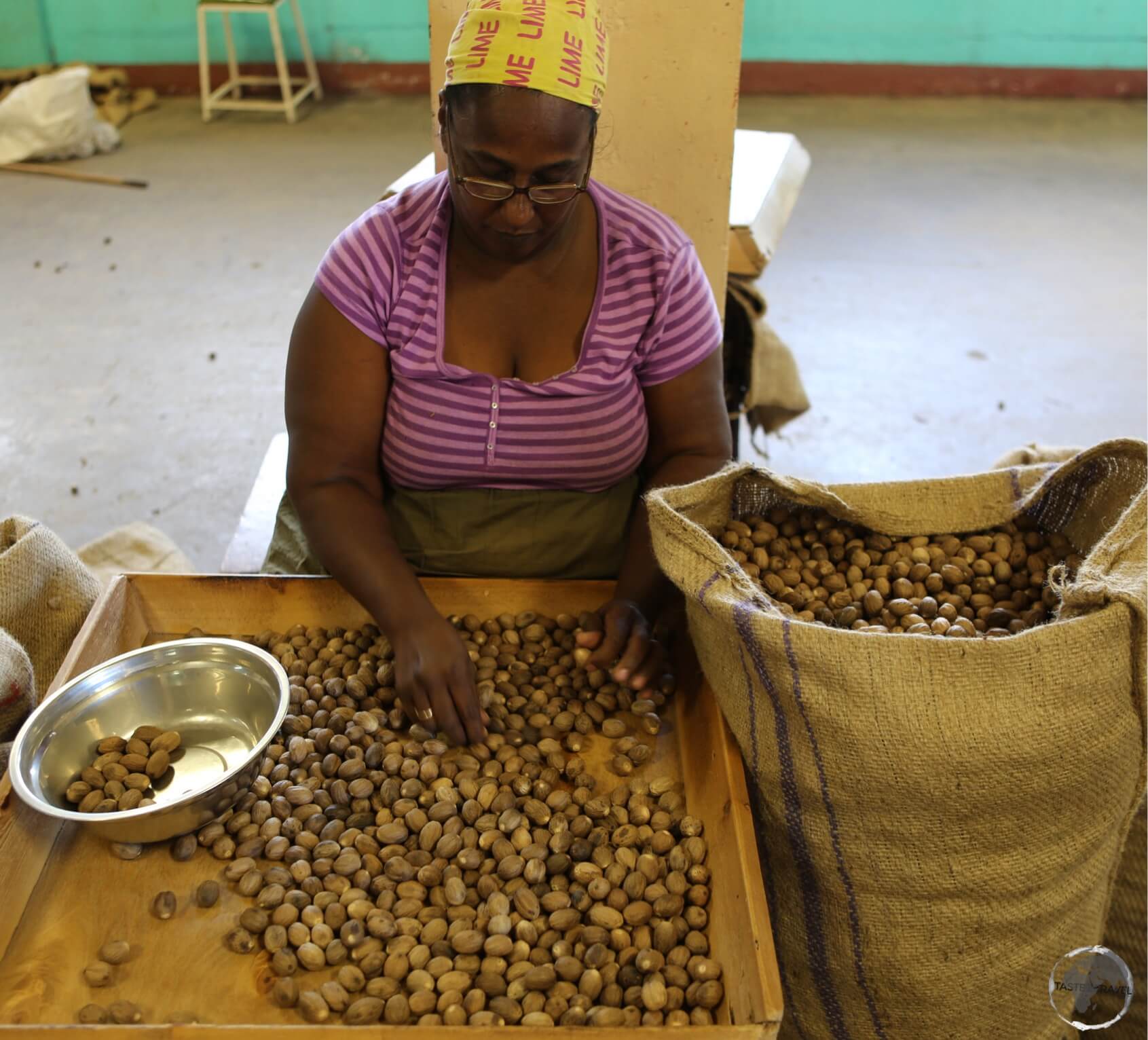
As with other Anglo Caribbean islands, after slavery ended the British imported indentured labourers from India. Descendants of these labourers make up another portion of the population and today add spice, literally, to the local cuisine.
Currency

The Eastern Caribbean dollar.
The official currency of St. Vincent & the Grenadines is the Eastern Caribbean dollar (EC$), which trades under the international currency code of XCD. Since 1976, the EC$ has been pegged to the US dollar at the rate of US$1 = EC$2.70.
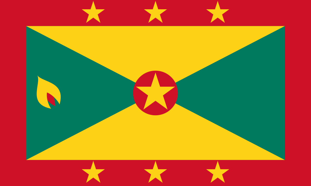
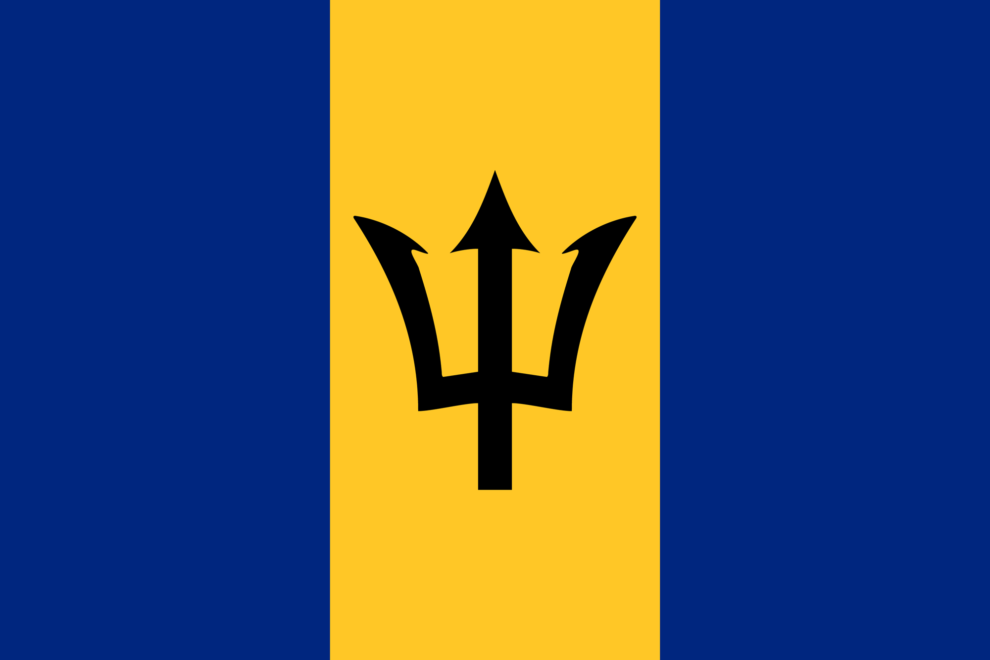
Flag

Saint Vincent and the Grenadines Flag
The flag of Saint Vincent and the Grenadines is a Canadian pale triband (i.e. one where the middle band occupies half the area of the flag) which consists of blue, gold, and green bands, with three green diamonds at the centre.
The blue epitomises the sky and the sea, while the gold represents the colour of the islands’ sand, the year-round sunshine, and the “bright spirit” of the islanders. The green symbolises the country’s plentiful vegetation, as well as the vitality of Vincentians.
The three diamonds evoke the nicknames of Saint Vincent as the “Gems of the Antilles”. Their arrangement in the shape of the letter V is a subtle allusion to the first letter in “Vincent”, while its placement on the marginally lower part of the centre band indicates the geographical positioning of the islands within the Antilles island group.
Sightseeing
Saint Vincent Island

A view of the hilly north-east coast of St. Vincent island.
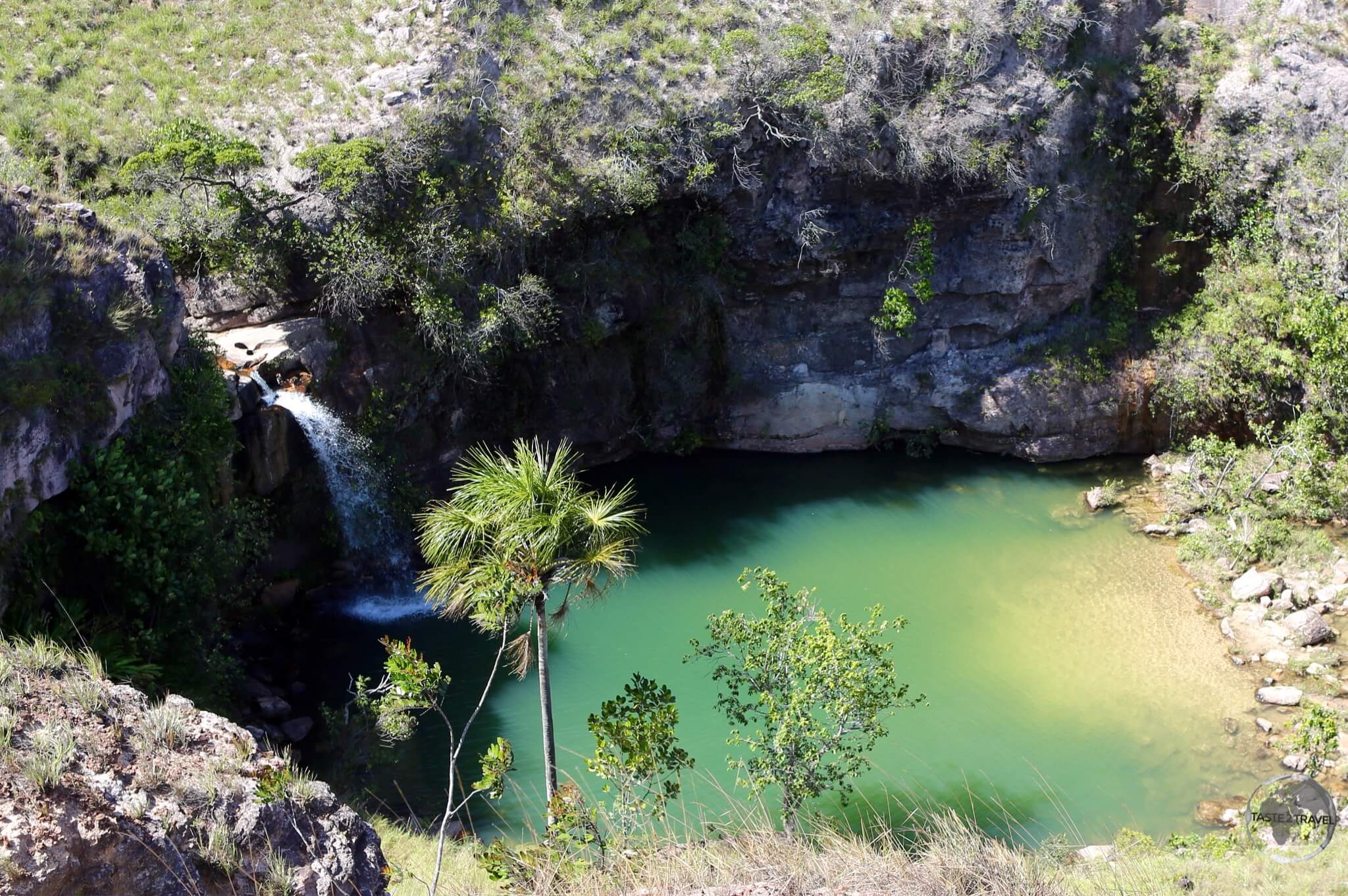
The main island of Saint Vincent is 26 km long and 15 km wide. The island is rugged and volcanic, the windward side (Atlantic side) is very rocky and steep, while the leeward side (Caribbean side) has more sandy beaches and bays.

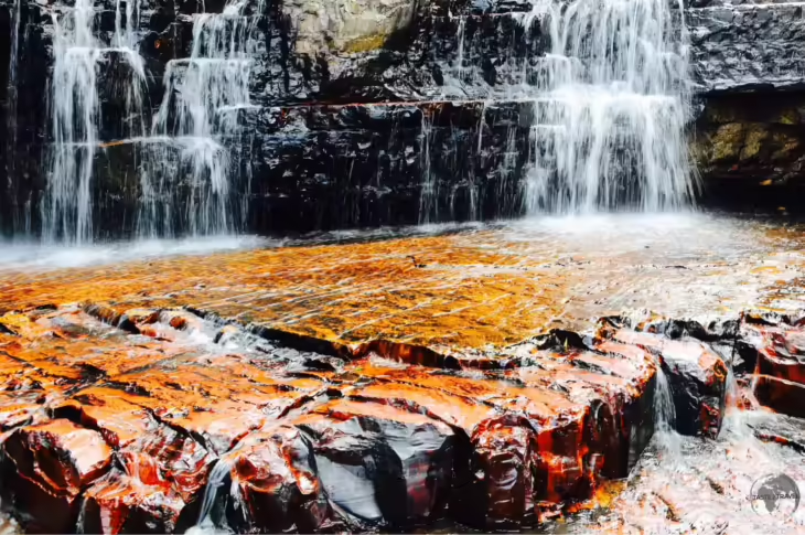
Lava flow from La Soufrière volcano.
Saint Vincent’s highest peak is La Soufrière volcano at 1,234 metres. This is prone to erupt from time to time, the last eruption being in 1979.
The capital and largest city, Kingstown (population: 15,500 ) is located on the south side of the island.

Frangipani’s on St. Vincent.
To fully explore the island by car you will need 2-3 days. From Kingstown you have one road along the east coast and one along the west coast. You should allow one full day to explore each side of the island.
Kingstown

View of Kingstown, the capital of St. Vincent and the Grenadines, from Fort Charlotte.
The capital and largest city was originally founded by French settlers in 1722.
Set on a hill on the northern outskirts of the city are the Botanical Gardens. They were established in 1765 by General Robert Melville, Governor of the British Caribbean. Captain Bligh (of the Bounty) brought breadfruit seeds to St. Vincent from Tahiti. This was imported as a food source to feed the slaves.
Today breadfruit is a staple on many Caribbean islands. A descendant of the first tree is in the garden. I would recommend paying for a guided visit. Jeffery, who is both knowledgeable and entertaining will provide information on all the tropical plants in the garden.

A couple of amorous lizards (Anolis) in the Kingstown Botanical garden.
You can also see the elusive St. Vincent parrots, which are kept in enclosures in the garden.
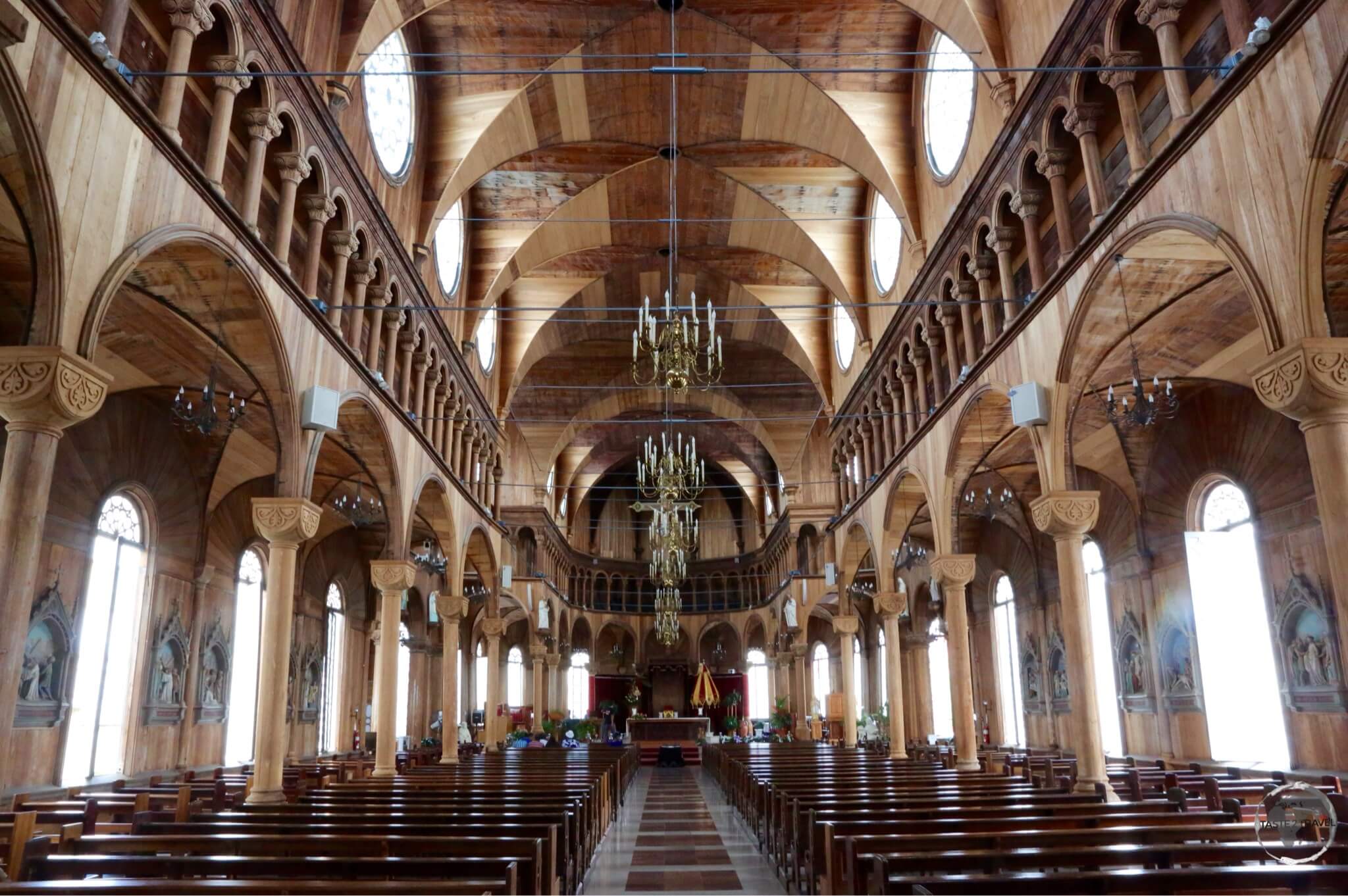
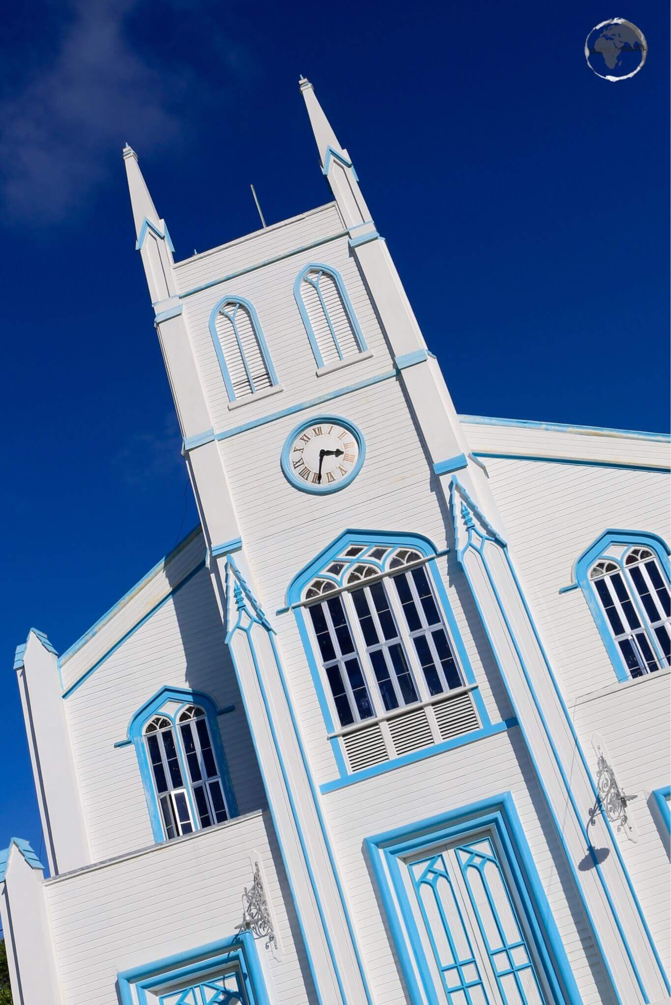
Also worth visiting in the capital is St. George’s Anglican Cathedral, the colourful market and Fort Charlotte (located 200 metres above the coast on the outskirts of town). Kingstown is quiet in the evening with few dining options available.

A Broad-winged hawk, soaring above the east coast of St. Vincent.
From Kingstown you have the option of driving north along the rugged and wild east coast (exposed Atlantic side) where you can see lava flows from La Soufrière volcano.
Alternatively you can drive along the calmer east coast (protected Caribbean side) where you will find better swimming beaches.
Bequia Island
Bequia (pronounced ‘bek-waa‘), meaning ‘island of clouds’ in Arawak, is a charming island and makes for a pleasant day trip from Kingstown.

Port Elizabeth, the gateway to Bequia island.
The island is a favourite retirement location for Americans and Europeans who have opened cafes, restaurants and guest houses but there are enough locals in residence to ensure a Vincentian flavour remains.
Bequia is small enough that you can cover most sites on foot in a day.
Taxis are also available from the port, which is located in the charming main town of Port Elizabeth. This is where you will find shops, restaurants, cafes and accommodation. A short walk from town you will find the family run model boat shops—Sargeant Brothers Model Boat Shop and Mauvin’s Model Boat Shop. Model boat building is a speciality of the island.
For the best views of town, head up the hill to the 18th century Fort Hamilton.
Tobago Cays
Just north of Union Island lie this group of five small cays. The cays are surrounded and protected by a horse-shoe shaped reef. The snorkeling and diving here is stunning, you have to see this to believe it. The water visibility is incredible. There is a huge variety of marine life including turtles, who can be seen feeding on the sea grass in the main lagoon.
The best way to reach the keys is via a boat day-trip from Union island. The trips normally include a lobster lunch on one of the keys, where you can watch sting rays patrolling the shallow waters off the main beach.
Union Island
Union Island is the southern most of the Grenadine islands within the territory of St. Vincent and the Grenadines. The remaining islands in the chain lie in Grenada – a short boat ride to the south.
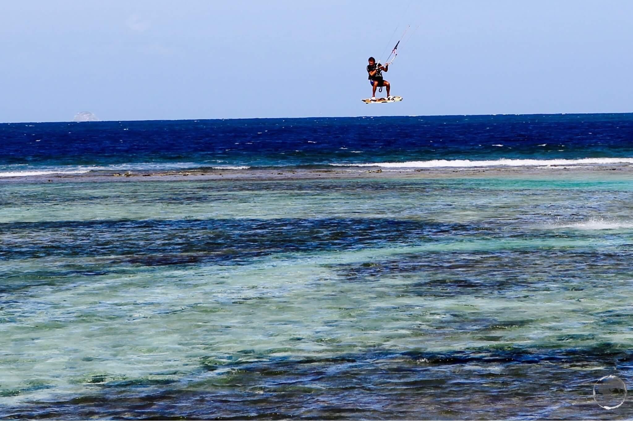
A kite surfer, taking advantage of a strong breeze on Union island.
The main town and port is Clifton which you can reach from Carriacou (Grenada) via private water taxi or from other islands in the Grenadines by ferry – see the ‘Getting There‘ section below.
Most places on Union island can be covered on foot but taxis are also available from the port. This is a good place to organise a day-trip to nearby Tobago Cays.
A short boat ride from Union island is the man-made Happy island. The island consists of a bar where you can get an excellent rum punch topped with freshly grated nutmeg. When I travelled in the Caribbean I carried my own grater and nutmeg in case of emergencies.

The most popular drink in the Antilles, the ‘Rum Punch’, being expertly prepared on tiny Happy island.
Caribbean Rum Punch Recipe
1/2 oz. lime juice
4 oz. orange juice
4 oz. pineapple juice
1 1/2 oz. dark rum
1 1/2 oz. light rum
A little grenadine for colour.
Mix ingredients together, pour over ice and sprinkle with nutmeg and garnish with an orange slice and a cherry.
Enjoy!
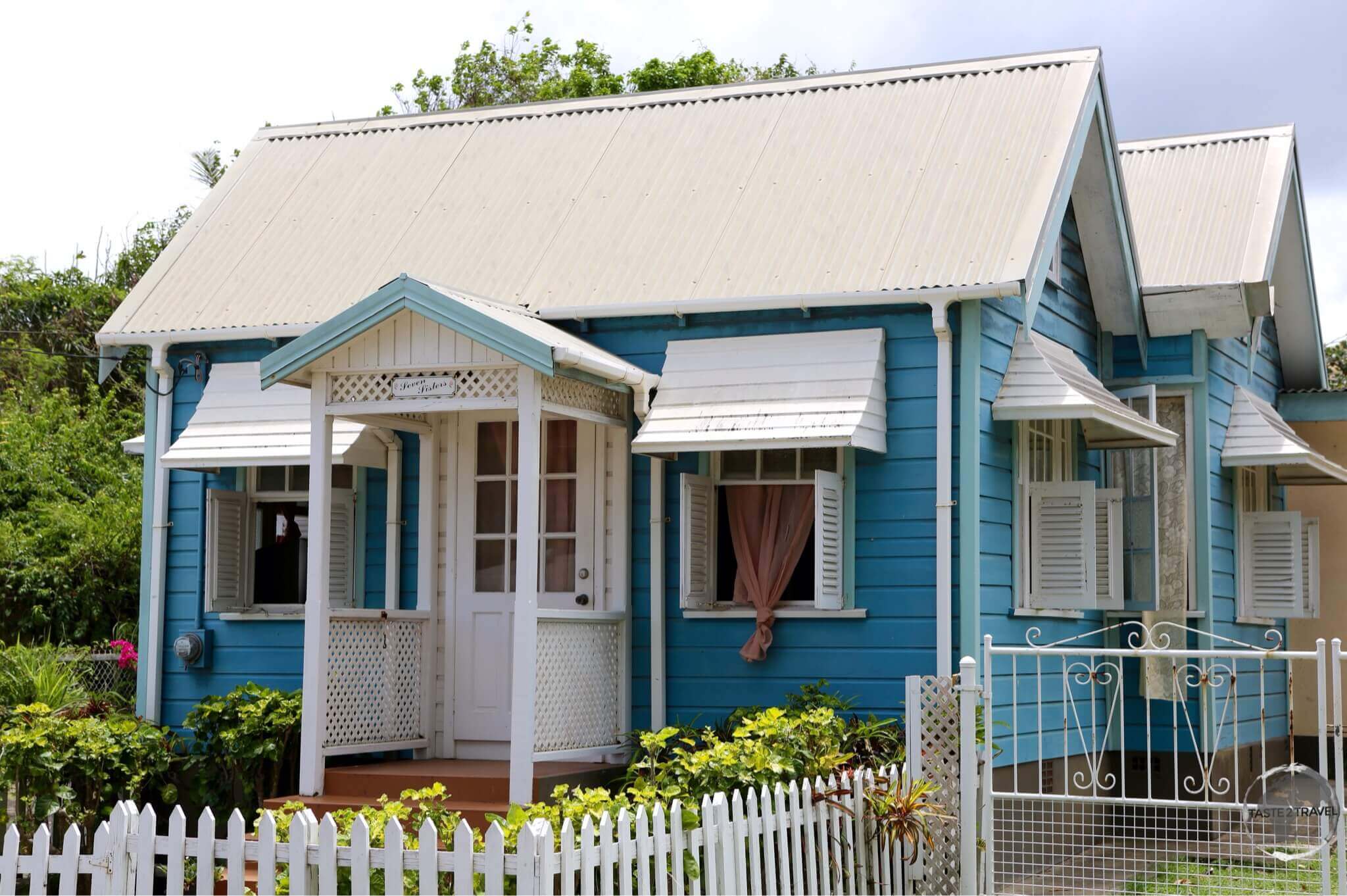
Accommodation
On Saint Vincent I stayed at the charming Cobblestone Inn, located in downtown Kingstown. I would recommend this as a great base in the capital.
On Union island there are accommodation options in Clifton catering to all budgets. I stayed on a nice sandy beach a short walk from town but unfortunately I would not recommend the hotel.
If you prefer to book in advance, it’s best to book using booking.com
Eating Out
Like neighbouring Grenada, restaurants on the island offer Calaloo soup (a leafy vegetable similar to spinach) and lots of local seafood.
As with the other Anglo Caribbean Islands, Chinese and Indian cuisine is also available.
Visa Requirements
Some nationalities require visas for Saint Vincent and the Grenadines – check your visa requirements prior to arrival.
Getting There
By Air
International flights arrive at Argyle International Airport (IATA: SVD), which is located on the east coast, 8 km from Kingstown.
The airport is the second solar powered airport in the Caribbean, following V. C. Bird International Airport in Antigua.
The following airline provides international connections to St. Vincent and the Grenadines:
- Air Canada Rouge – flies to/ from Toronto–Pearson
- American Airlines – flies to/ from Miami
- Caribbean Airlines – flies to/ from New York–JFK, Port of Spain
- LIAT – flies to/ from Antigua, Barbados, Grenada, Port of Spain, Saint Lucia–Charles
- Mustique Airways – flies to/ from Barbados, Bequia, Canouan, Mustique, Union Island
- One Caribbean – flies to/ from Barbados, Grenada, Tortola
- SVG Air – flies to/ from Barbados, Bequia, Canouan, Mustique, Saint Lucia–Hewanorra, Union Island
By Sea
There are no scheduled international ferry services, however private operators connect Carriacou island (Grenada) to Union Island (St. Vincent and the Grenadines). The journey time is approximately 45 mins. Ask around in either port for the captains of these boats.
The only other way to arrive by sea is by private yacht or cruise ship.
Getting Around
Mini-buses operate on St. Vincent and taxis are available.
The best option for exploring the main island is to hire a car. There are rental companies at the airport and in Kingstown. If driving, you will first need to buy a temporary St. Vincent drivers license from the main police station in Kingstown.
Public transport on the smaller islands is non-existent. You either walk, hitch a ride or take a taxi.
Regular ferry services connect the different islands in St. Vincent & the Grenadines. For timetables and fares, please consult the Discover SVG website.
Small domestic airlines connect such as SVG Air and Mustique Airlines connect Kingstown with the Grenadines and beyond.
Safe Travels!
Darren
Follow me on Instagram:
[instagram-feed feed=1]
Further Reading
Other travel reports from the Caribbean region include:
- Anguilla
- Antigua & Barbuda
- Aruba
- Bahamas
- Barbados
- Bonaire
- Bermuda
- Cayman Islands
- Cuba
- Curaçao
- Dominica
- Dominican Republic
- Grenada
- Guadeloupe
- Haiti
- Jamaica
- Martinique
- Montserrat
- Puerto Rico
- Saba
- Saint Barthélemy (Saint Barts)
- Saint Eustatius (Statia)
- Saint Kitts & Nevis
- Saint Lucia
- Saint Martin/ Sint Maarten
- Trinidad & Tobago
- Turks & Caicos
- Virgin Islands (British)
- Virgin Islands (U.S.)
Saint Vincent Travel Guide Saint Vincent Travel Guide Saint Vincent Travel Guide Saint Vincent Travel Guide Saint Vincent Travel Guide Saint Vincent Travel Guide


 museum in Willemstad.")


 in Oranjestad.")


 to 122 metres (400 ft).")