Venezuela Travel Report
Welcome to the taste2travel Venezuela Travel Report!
Date visited: February 2015
Introduction
This report covers a side trip from Brazil into the Gran Sabana (Great Savannah) region of Venezuela – also known as the Guianan Savannah.
Venezuela
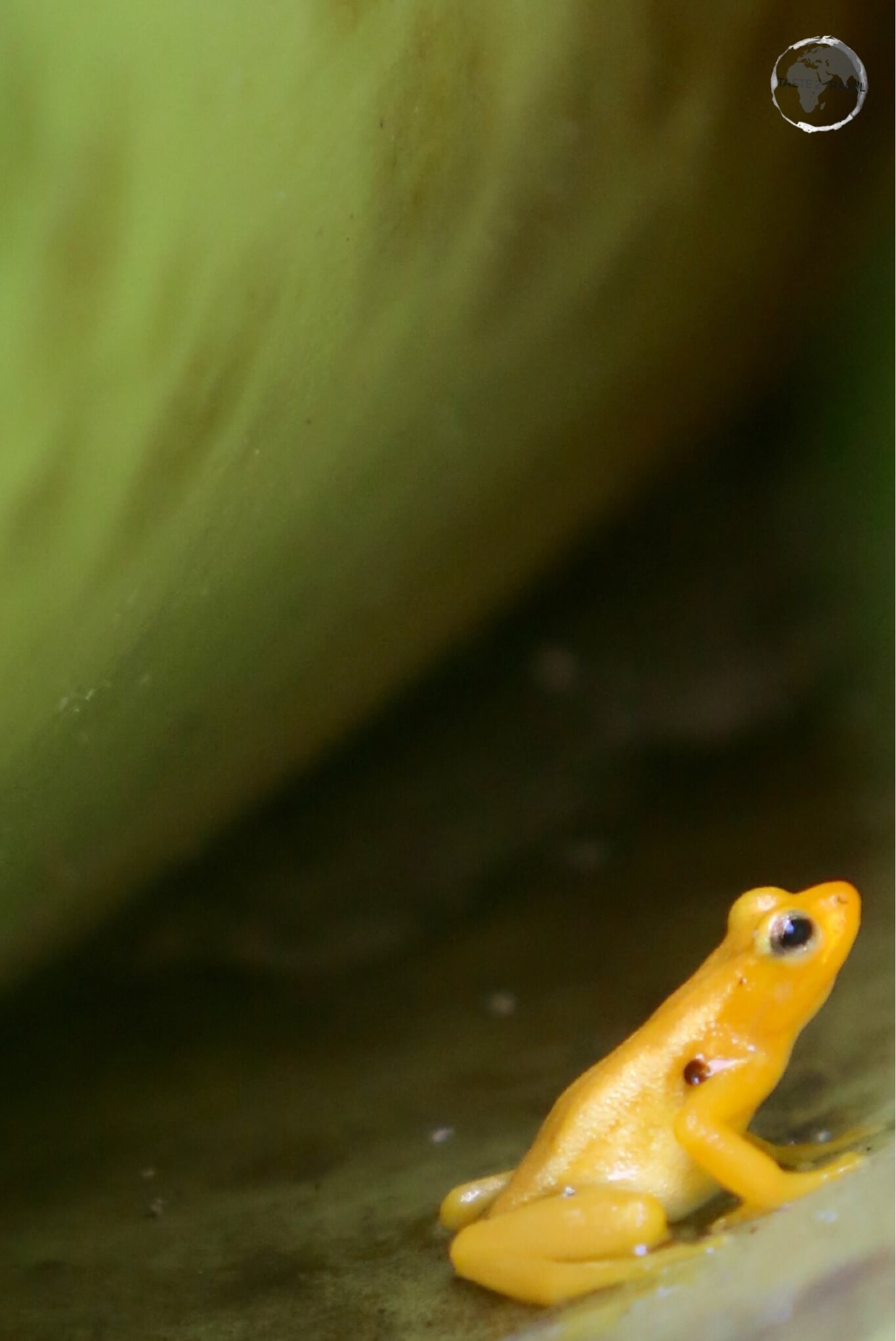
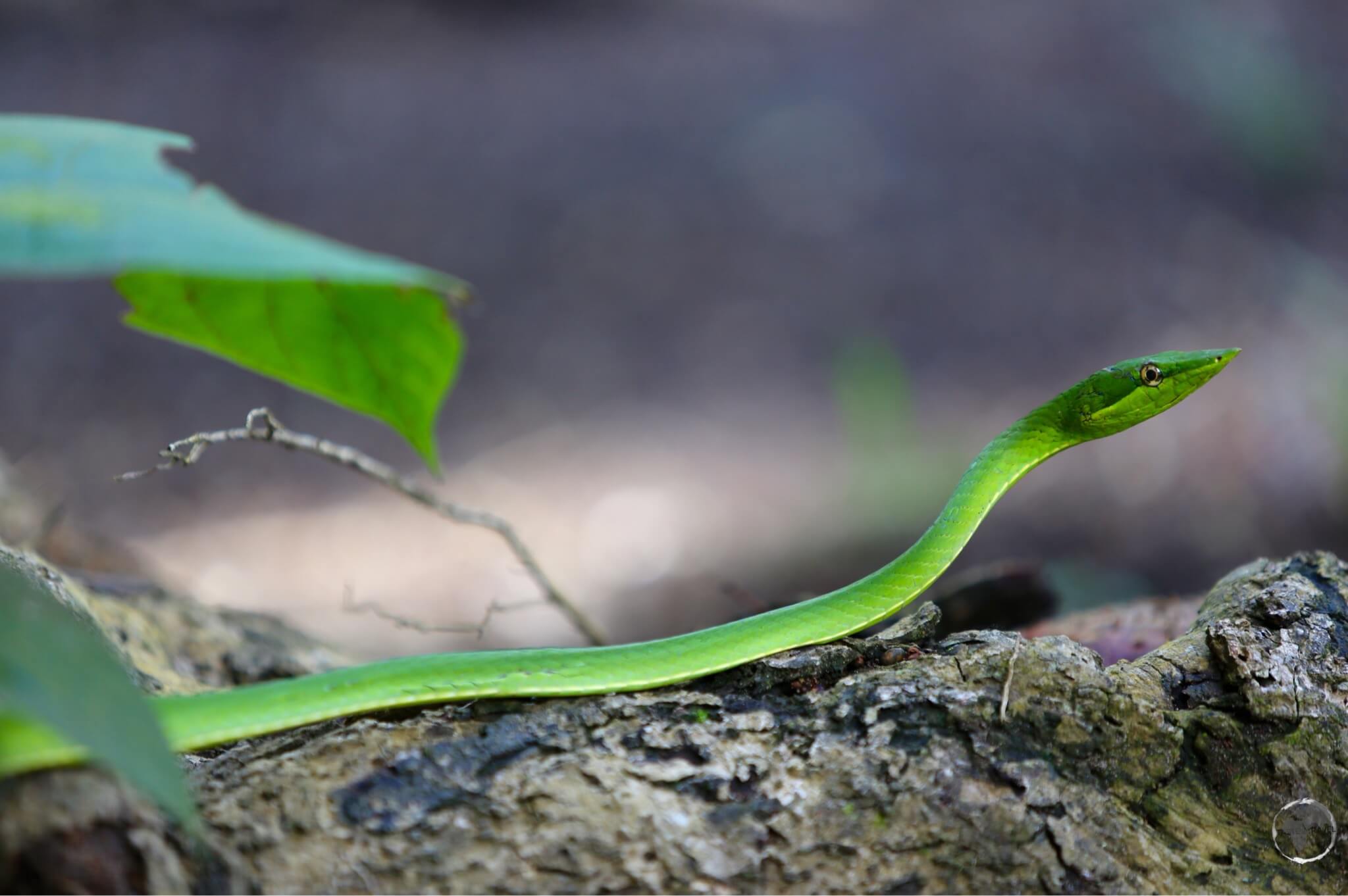
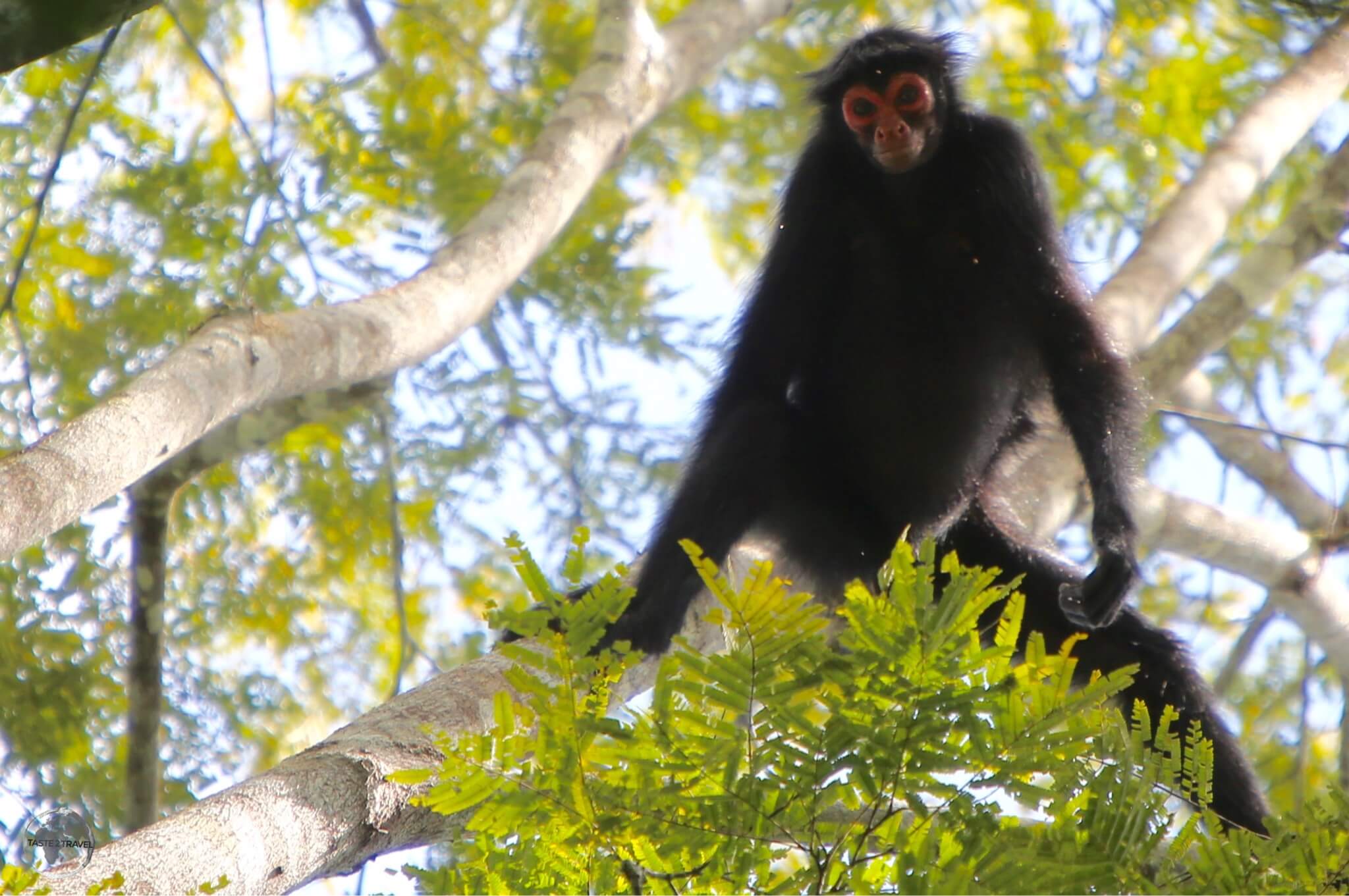
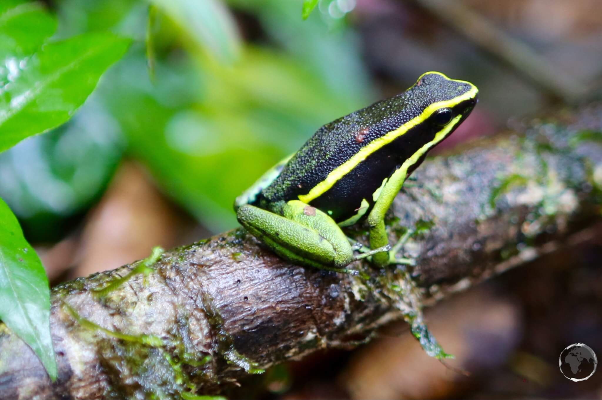
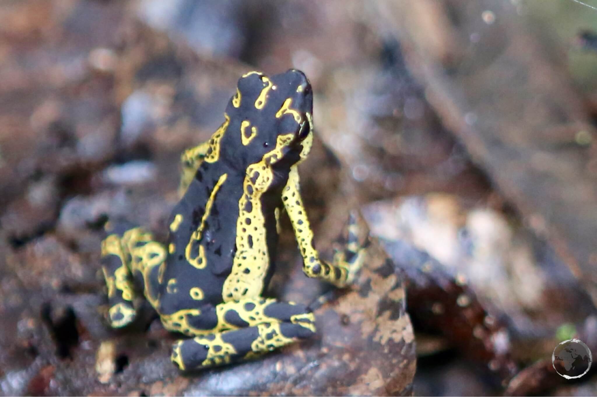
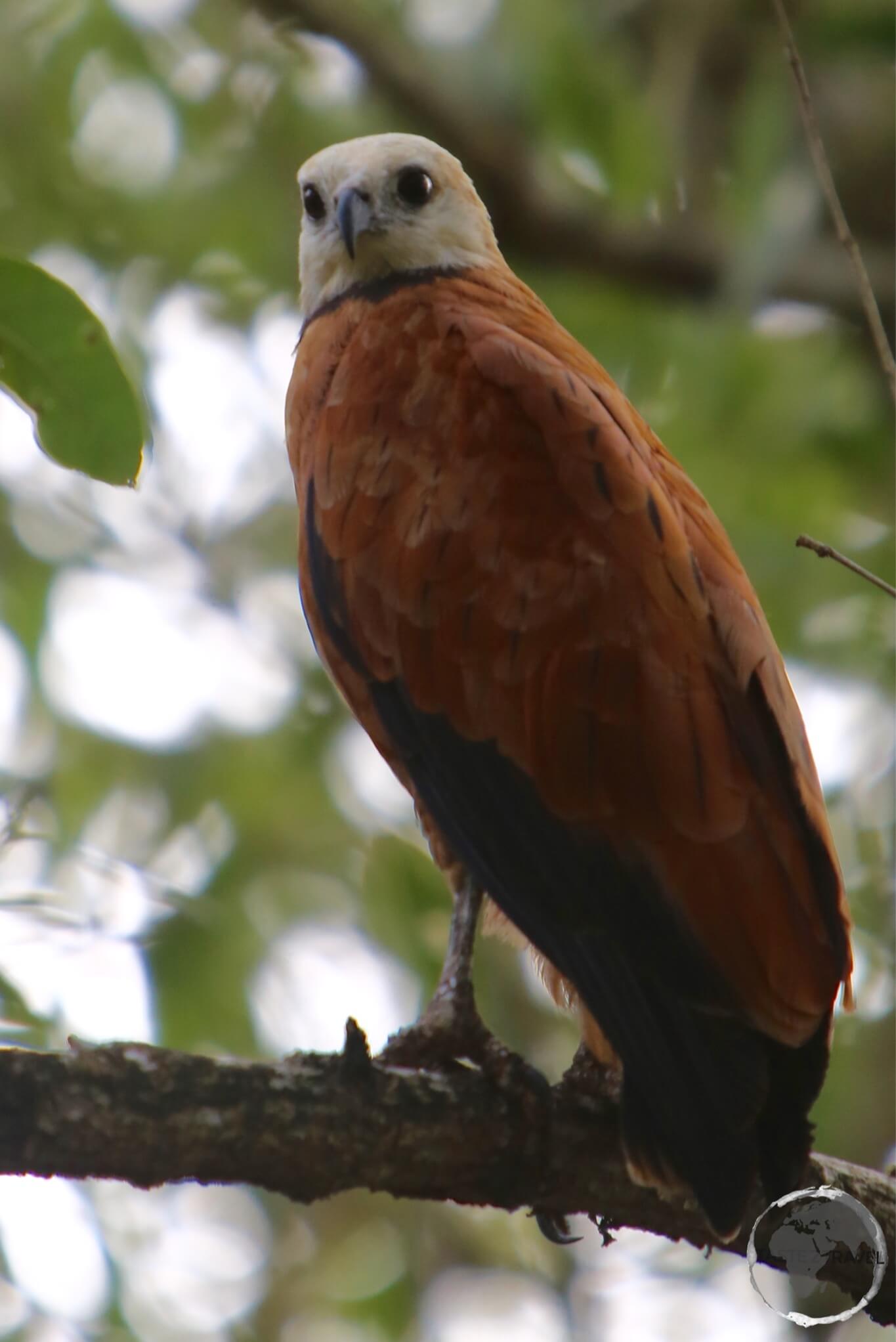
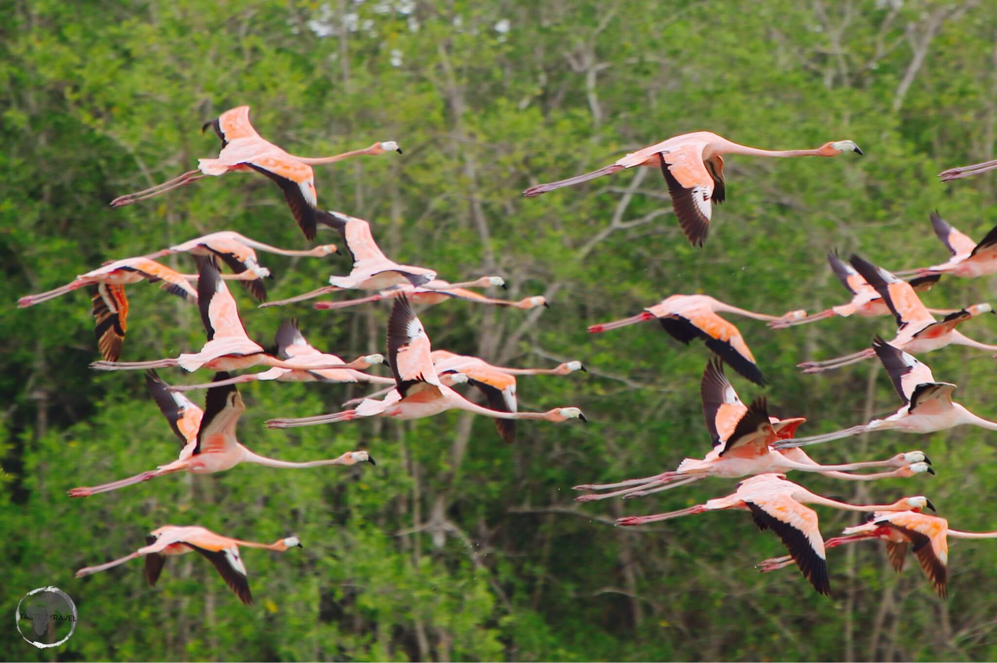
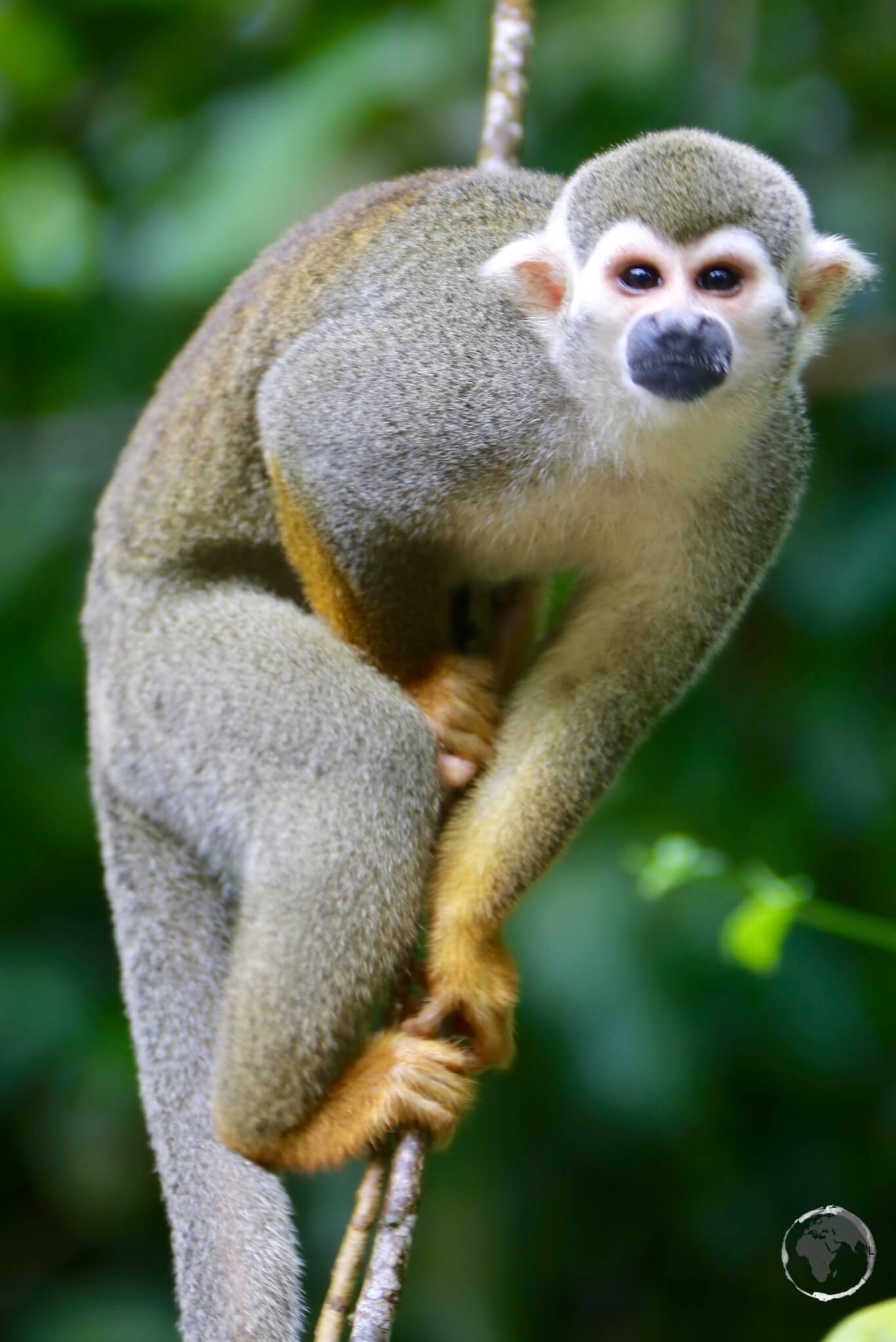
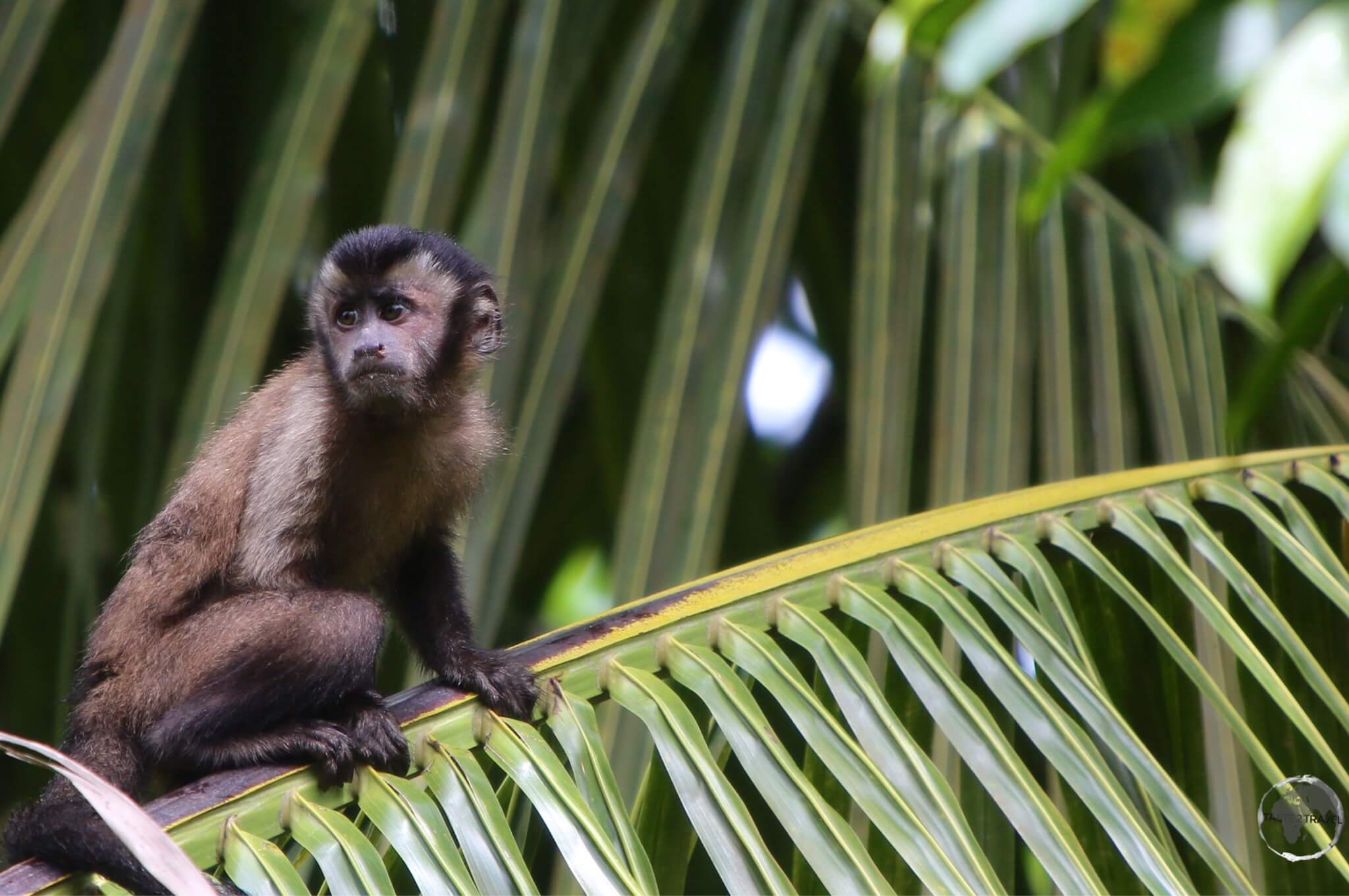
The Savannah region offers one of the oldest (two billion years) and most unusual landscapes in the world, with rivers, waterfalls and gorges, deep and vast valleys, impenetrable jungles and savanna’s that host large numbers and varieties of plant species, a diverse fauna and the isolated table-top mesas locally known as tepuis.
The most famous of the tepuis is Mount Roraima (2,800 m), which forms the border between three nations – Venezuela, Guyana and Brazil with 85% of the mountain in Venezuelan territory.
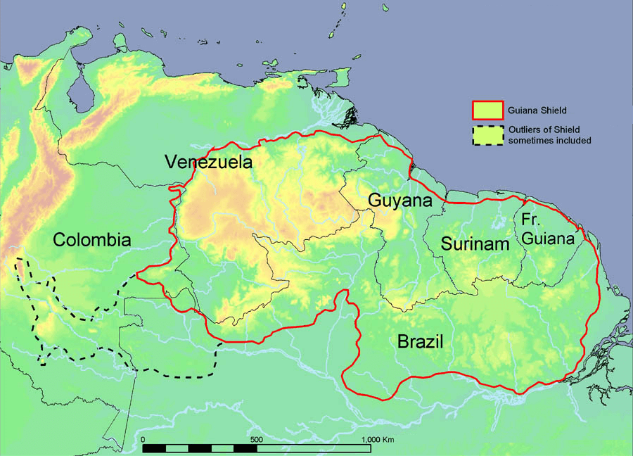
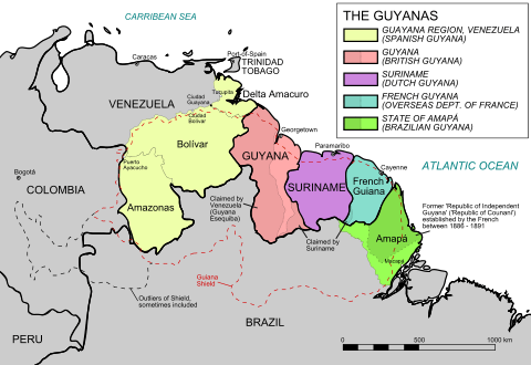
A map of the Guyana shield.
Source: Wikipedia
The landscape in this region is part of the Guiana Shield. Mount Roraima occupies the south-eastern corner of Venezuela’s 30,000-square-kilometre (12,000-square-mile) Canaima National Park. The mountain is the highest point in Guyana and the highest point of the Brazilian state of Roraima.
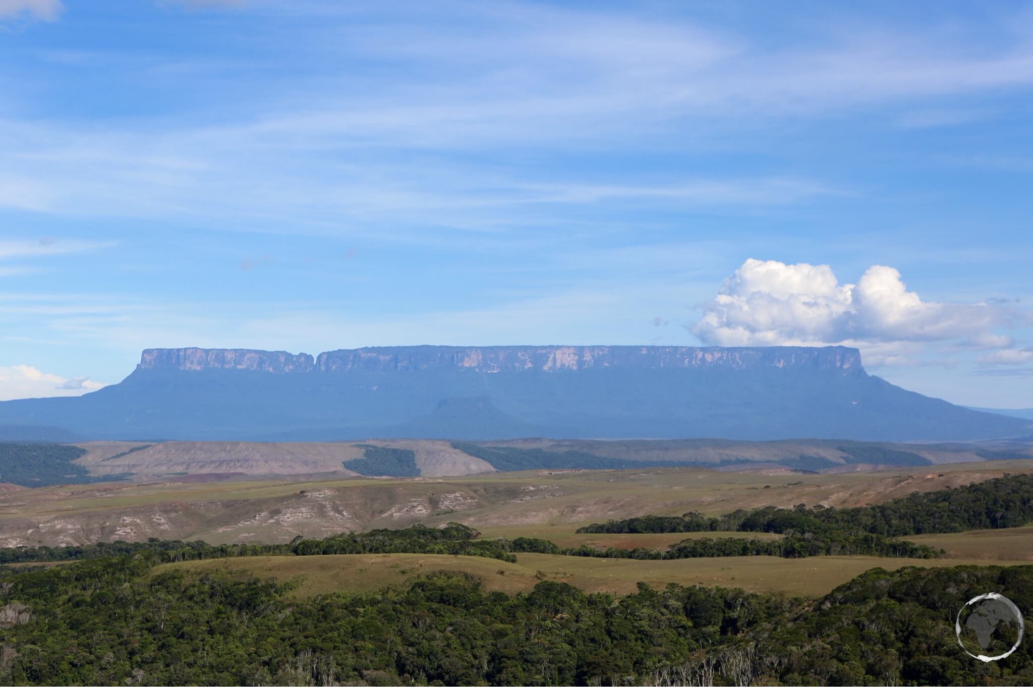
A table-top mountain, Mount Roraima is bounded on all sides by cliffs which rise 400 metres (1,300 ft).
Safety
Venezuela today is always in the news for the wrong reasons. The country is suffering after years of political and economic mismanagement under Chavez and now under his successor, Nicholas Maduro.
Crime is rampant, the country has one of the highest homicide rates in the world and tourists do get kidnapped. This is not a place for a Club Med holiday. You should make your own assessment of the risks, depending on your destination, before you arrive.
All locals advised me to avoid Caracas.
I personally experienced no problems while in La Gran Sabana region. The locals were all very friendly and welcoming and it was business as usual in Santa Elena.
Tourism is an important source of revenue in this part of the country and the locals are very keen to ensure nothing happens to tarnish the industry.
Many businesses are suffering due to the lack of tourists. The only visitors in Santa Elena during my visit were Brazilian day-trippers on shopping trips taking advantage of the cheap prices.
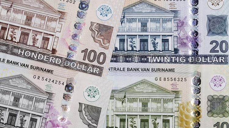
Money Matters
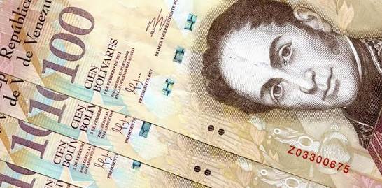
The official currency of Venezuela is the bolívar.
While many aspects of Venezuela are currently unfavourable, the turmoil has created a favourable economic environment for travelers. Travel costs in Venezuela are the cheapest on the continent.
At the time of my visit (February 2015) the exchange rate was:
- Official rate: USD$1 = VEF 6.35 (fixed)
- Black market rate: USD$1 = VEF 150
Venezuela has the highest inflation rate of any country in South America. As of today (13th of March 2016) the black market rate is: USD$1 = VEF 1,211
It is illegal to publish black market exchange rates inside Venezuela, if you wish to check the current rate you can do so via the American website – dolartoday.
You should ensure you take enough cash – USD or, if you are entering from Brazil – Brazilian Reals, to last for the duration of your trip.
Exchanging with traders on the street is illegal but very common. In downtown Santa Elena you will find money traders on every street corner holding huge wads of Bolivares. I did one exchange while the trader was having a friendly conversation with a uniformed policeman.
Whatever you do – you should ensure you never expose yourself to the official exchange rate by using an ATM or credit card, otherwise you will find travel costs in Venezuela to be the most expensive on the continent.
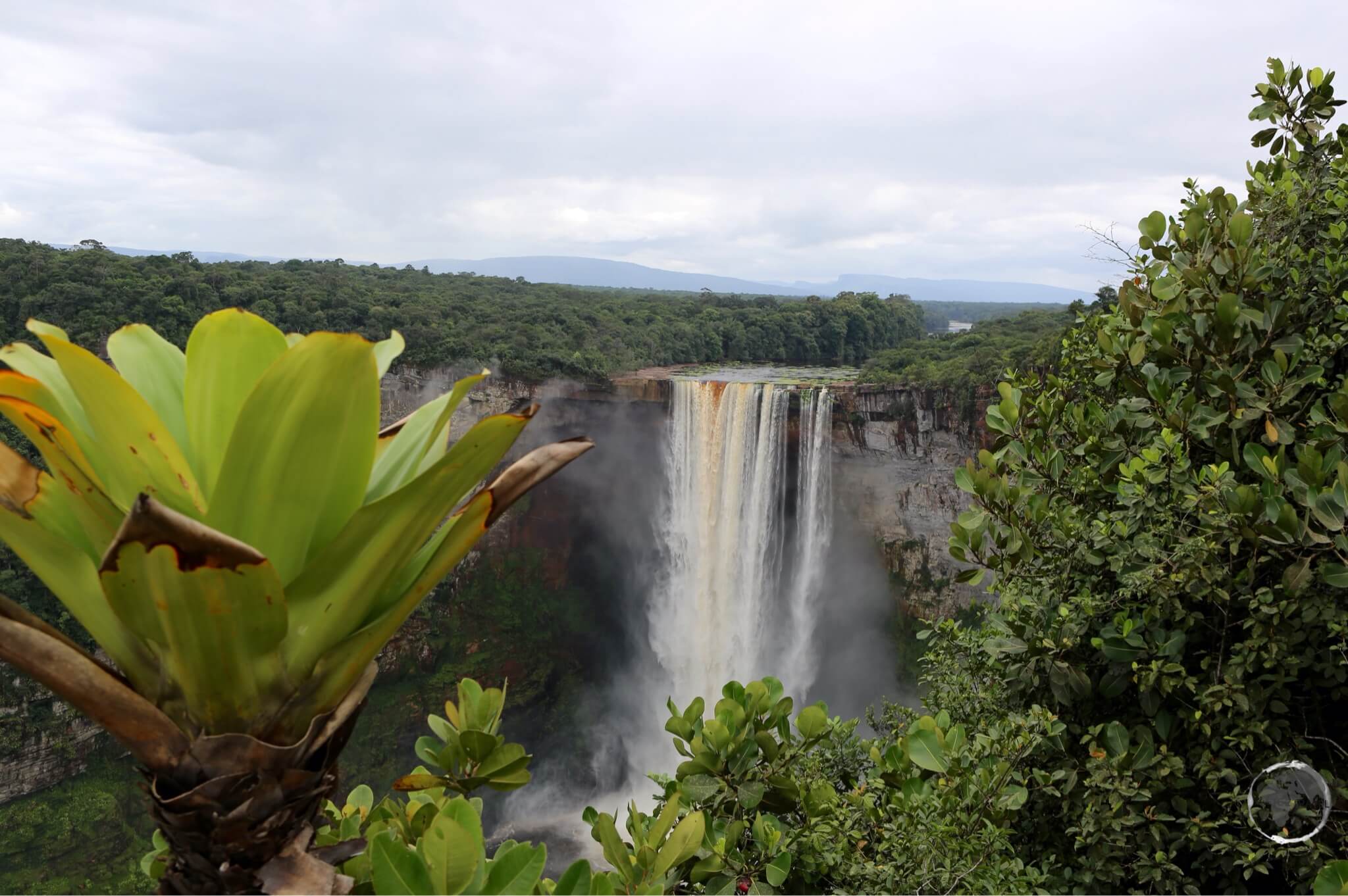
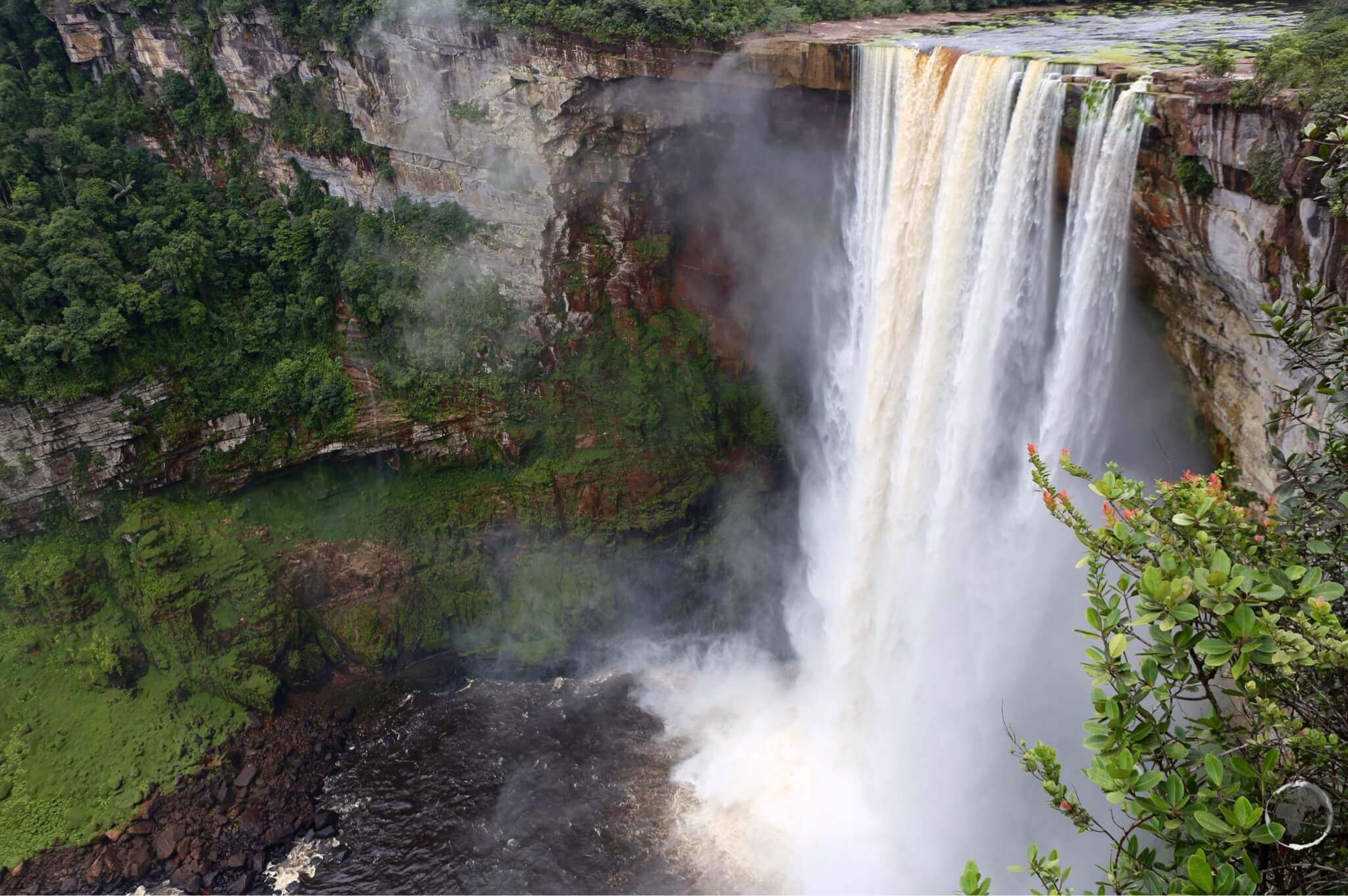
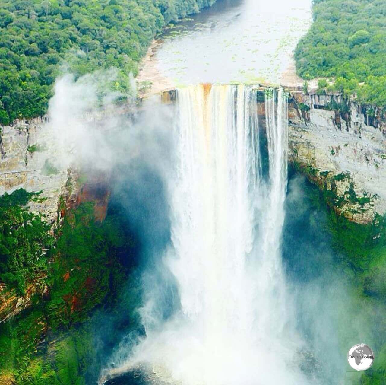
Sightseeing
A map of Canaima National Park which includes Angel Falls, the world’s highest waterfall.
Canaima National Park
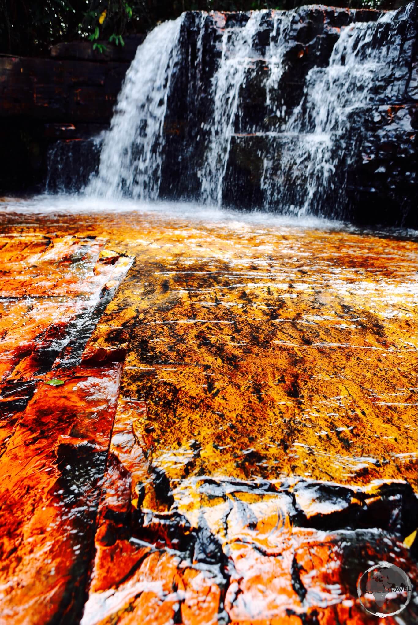
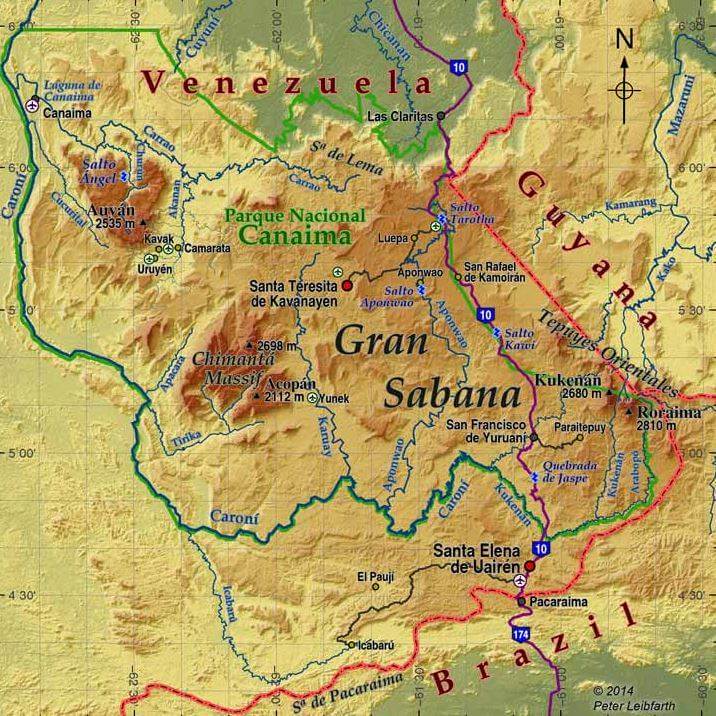
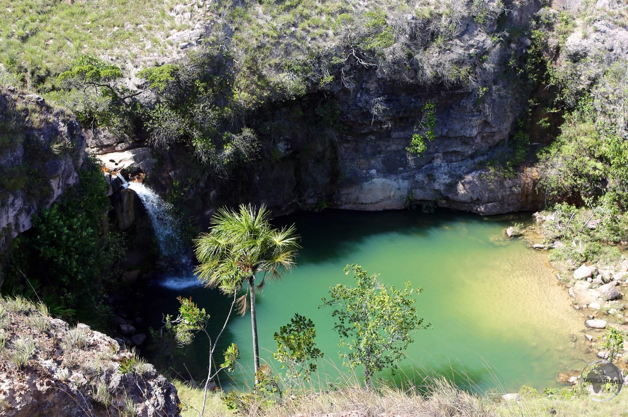
The Jasper Creek Waterfalls are one of many waterfalls in the Canaima National Park.
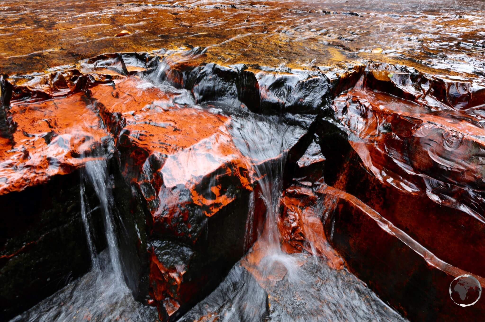
The Savannah region covers an area of 10,820 square kilometres and includes the Canaima National Park, the 2nd largest park in Venezuela. The highlight of my trip was a visit to the park, all of the photos here were taken in the park.
As smooth as polished marble, Jasper is a mineral formed from Quartz.
One of the most beautiful sites in the park is Jasper Creek waterfalls. The creek gets its name from the fact that the water flows over a smooth bedrock of mostly red and black jasper.
One of many waterfalls in Canaima National Park.
The park is home to numerous waterfalls, which are popular swimming spots for the locals.
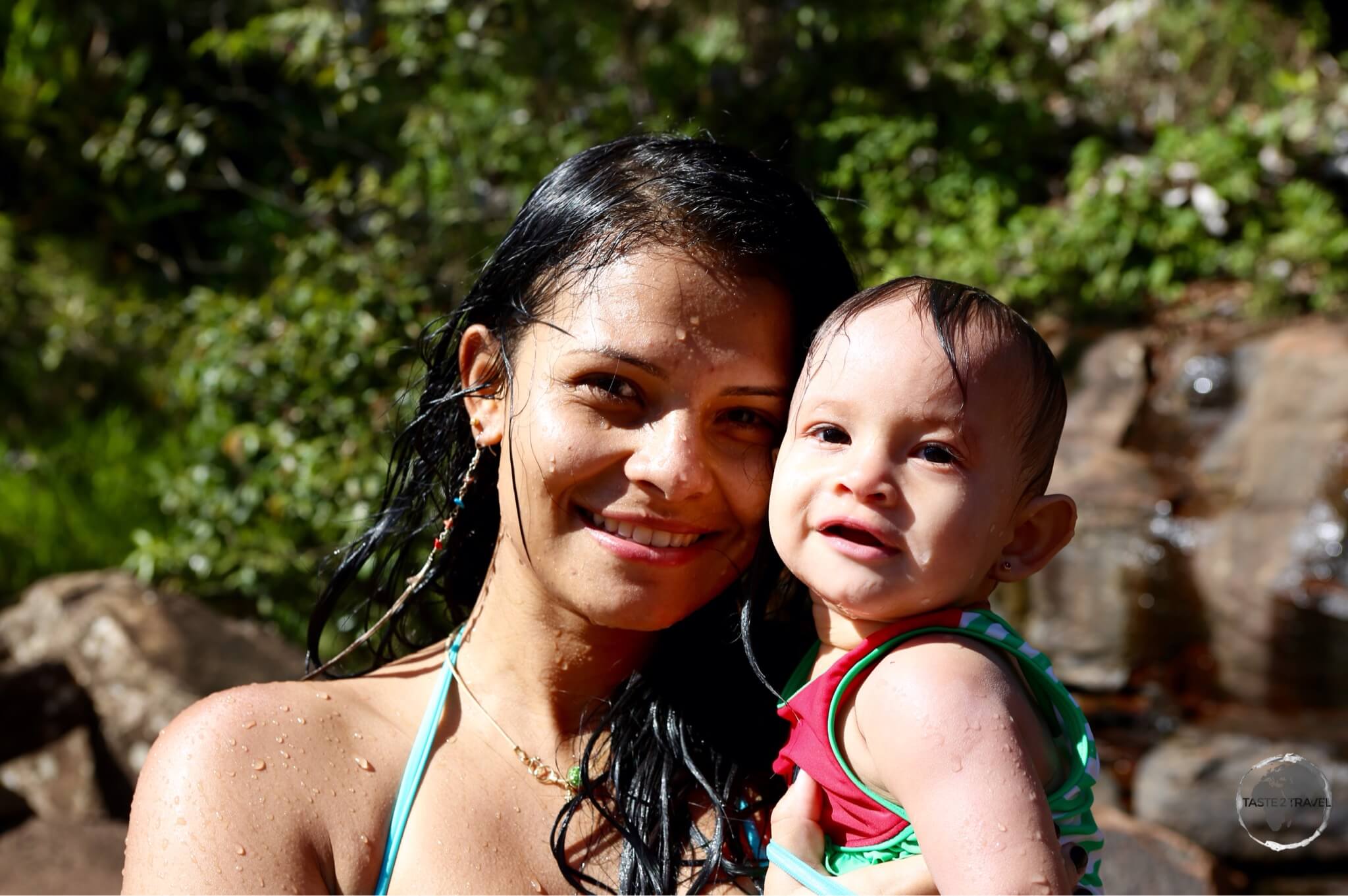
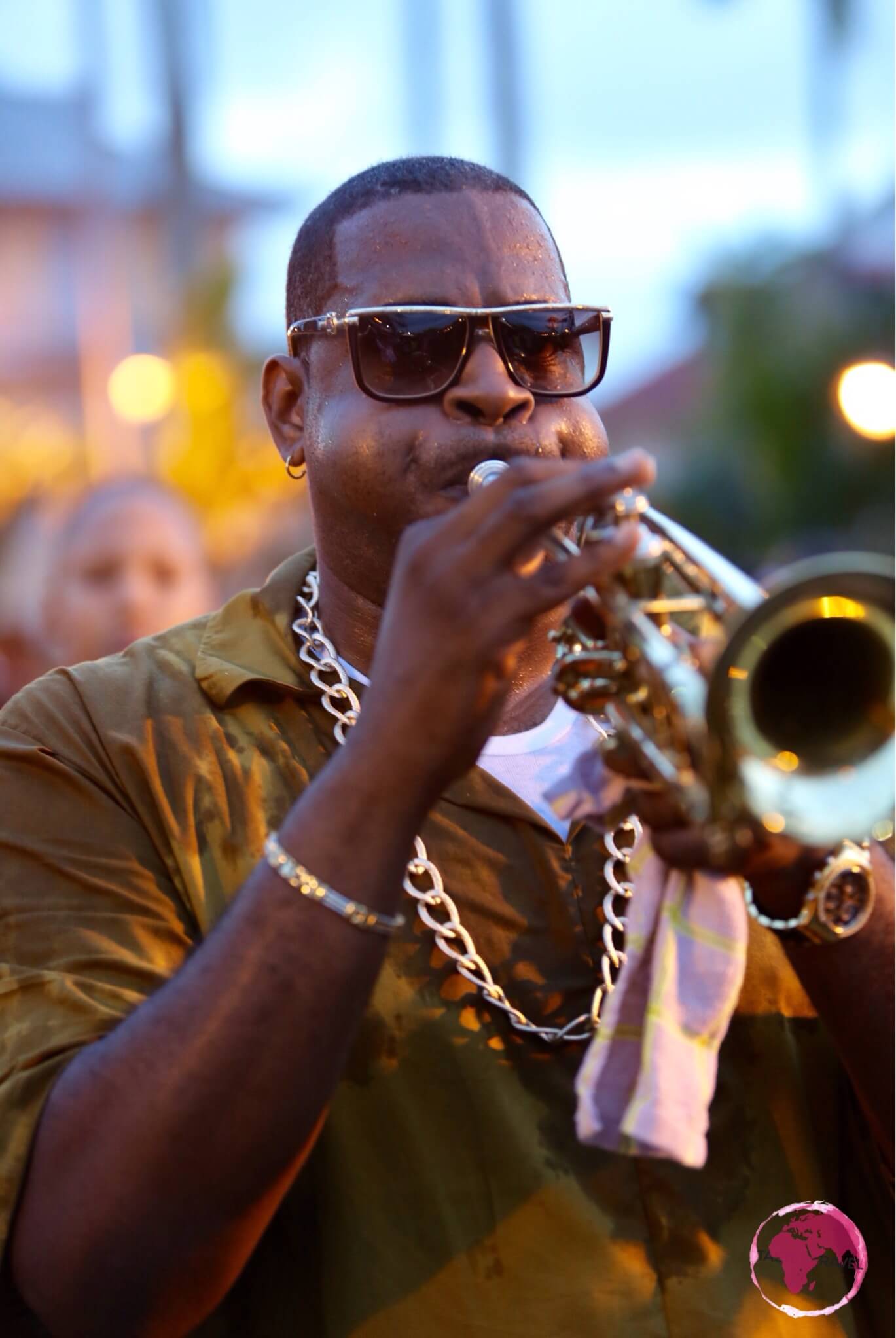
A family from Caracas enjoying a refreshing dip in one of the waterfalls at Canaima National Park.
This was the perfect place to cool off after a hot day of touring Canaima National Park.
Getting There
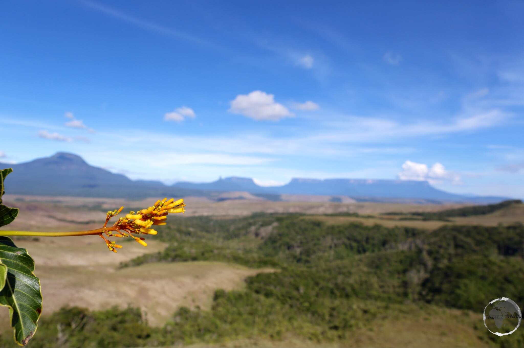
View of the countryside in Canaima National Park, with the table-top Mount Roraima in the background.
Local tour operators in Santa Elena can organise day trips into the park. I travelled in a 4WD with four others travellers. The cost for the trip was $12 per person.
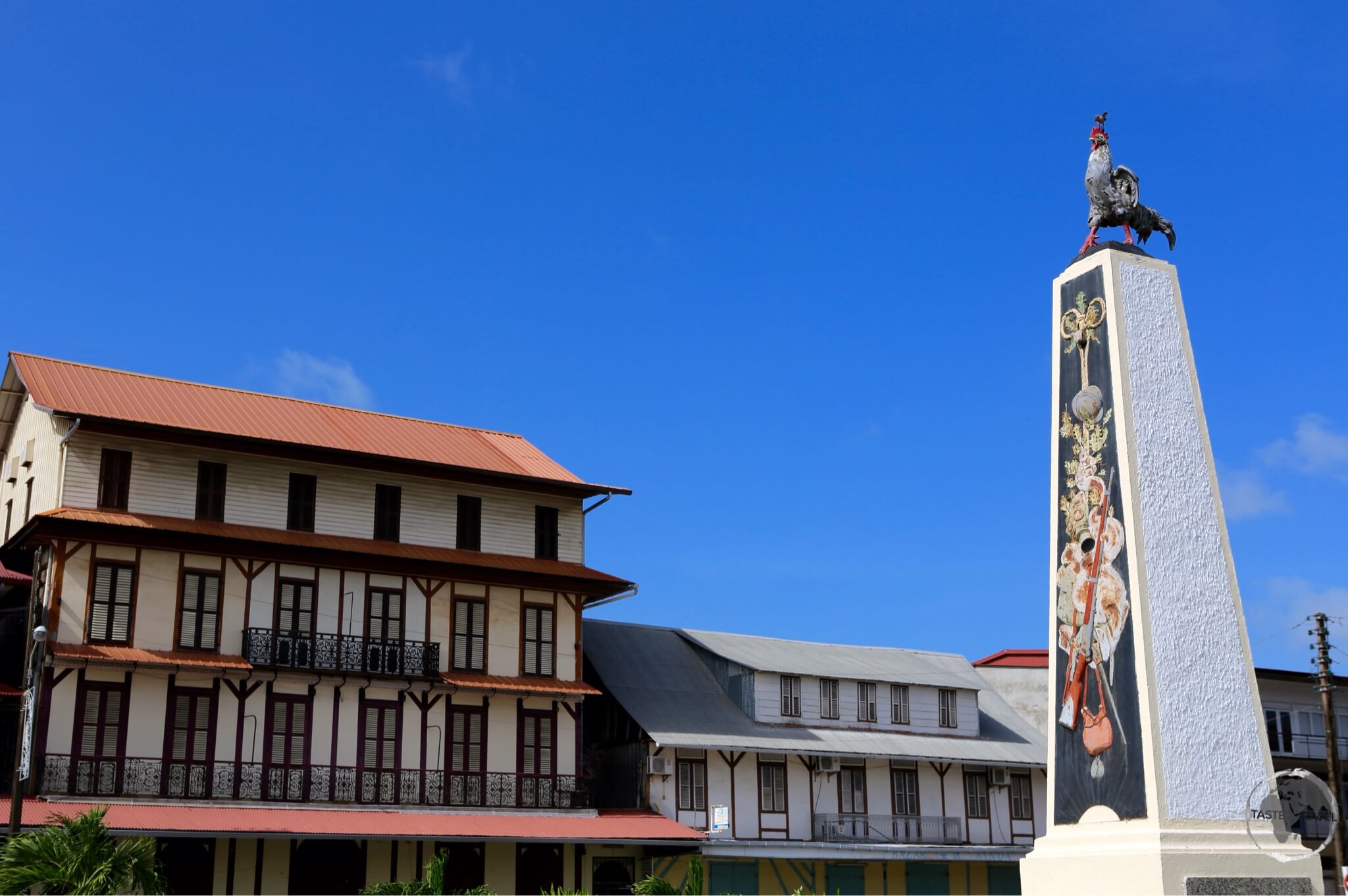
A bustling border town and main service centre for the region. Santa Elena is the first stop in Venezuela for travelers entering by land from Brazil.
In this small, friendly town, there are plenty of hostels, hotels and travel agents who can organise trips to Mount Roraima or the Canaima National Park and other places in the Savannah region.
Accommodation
Accommodation in Santa Elena de Uairén is plentiful but fills up quickly. With the current economic crisis, prices of goods in Venezuela are ridiculously cheap, so hotels are often booked out by visiting Brazilian shoppers.
Best to book ahead using an online agent such as booking.com
In Santa Elena de Uairén I stayed in the Hotel Le Gran Sabana, which is located on the outskirts of town on the highway to the border.
There are plenty of hostel options downtown, especially on Calle Urdaneta.
Eating Out
There are many good restaurant options in Santa Elena, especially in the backpacker neighbourhood on Calle Urdaneta.
Visa Requirements
Some nationalities require visas for Venezuela – check your visa requirements prior to arrival.
Getting There
By Air
Santa Elena de Uairén has an airport, but as of February 2016, all commercial service has been suspended.
Venezuelan airlines Rutaca and Conviasa used to operate flights between this airport and Ciudad Guayana or Ciudad Bolívar; you should check their websites to see if air service has been restored at the time of your visit.
By Road
To/ From Brazil
Coming from Brazil, you can reach the Brazilian border town of Pacaraima from Boa Vista by several daily buses (the earliest at 7:00 am) that leave from Terminal do Caimbé bus station. There are also shared taxis. The ride takes up to 3:30 hours on a single-lane but good paved road.
To cross the border from Pacaraima to Santa Elena, you need to take both Brazilian and Venezuelan stamps at the respective immigration checkpoints first, then return to Pacaraima, where shared taxis are waiting for passengers. Pacaraima lies right next to the border (200 m walk from the bus terminal), Santa Elena is 12 km away.
If you are coming from Santa Elena you should take the taxi only to the border as the bus terminal in Pacaraima is a short walk from the border.
Some nationalities require visas for Brazil – check your visa requirements prior to arrival.
Getting Around
There are taxis to get you around Santa Elena de Uairén although the town centre is small and compact and easily covered on foot.
Currently bus service exists between Ciudad Guayana and Santa Elena de Uairén, but car travel is recommended to allow for frequent stops in interesting places.
The journey from Caracas takes 22 hours and can be done in a semi-cama (reclining seat) bus.
Safe Travels!
Darren
Follow me on Instagram:

Further Reading
Other travel reports from the region include:
- Amazon River Journey
- French Guiana
- French Guiana (Cayenne Carnival)
- Guyana
- Guyana (Essequibo Region)
- Macapa to Manaus via the Guianas
- Panama Bird Watching
- Panama Travel Report
- Suriname
Venezuela Travel Report Venezuela Travel Report Venezuela Travel Report Venezuela Travel Report l Report

 to 122 metres (400 ft).")